

Bellissimo giro dove non si trova praticamente nessuno.
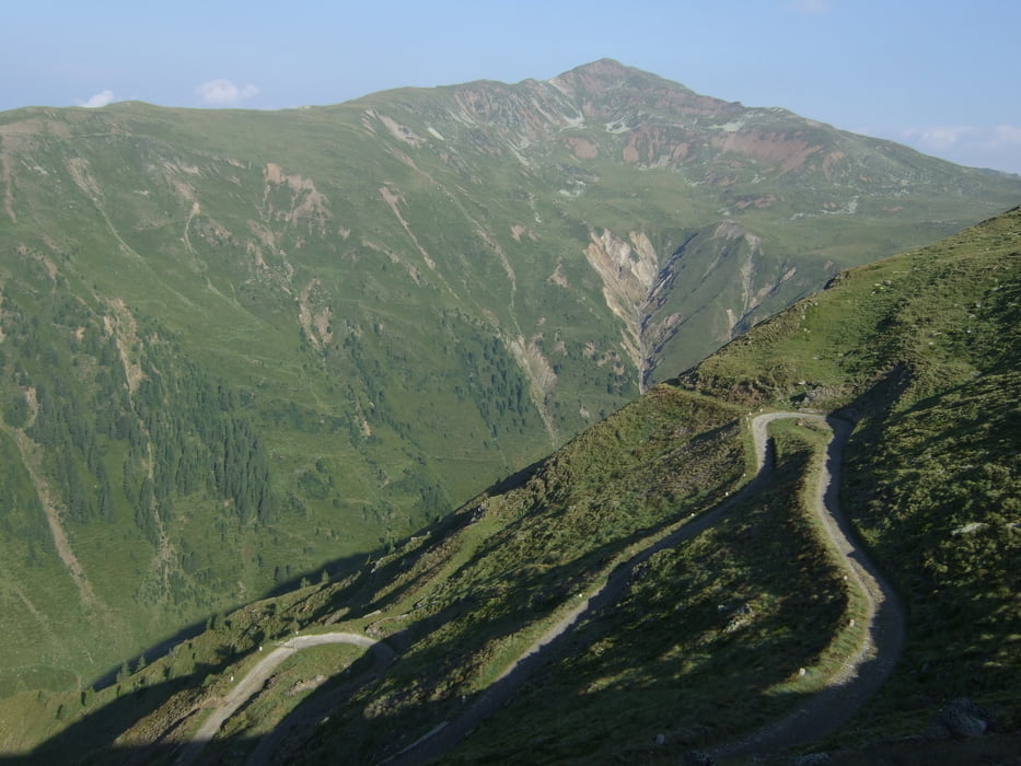
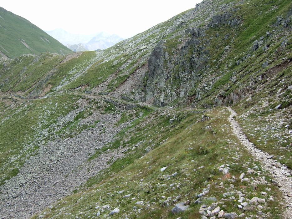
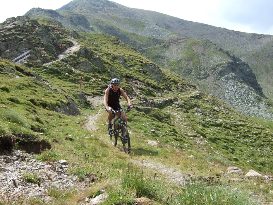
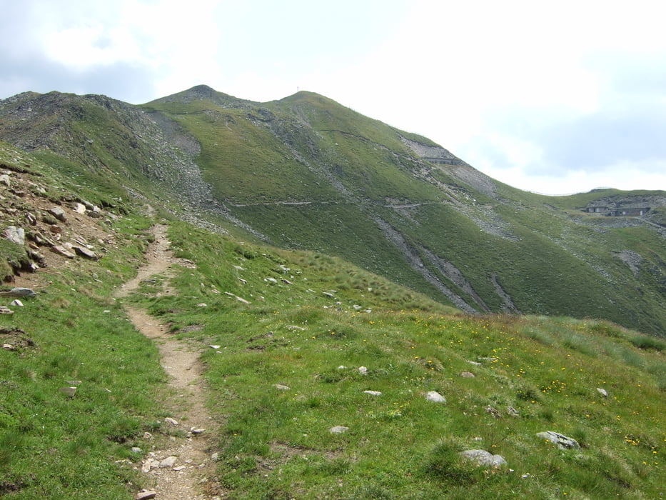
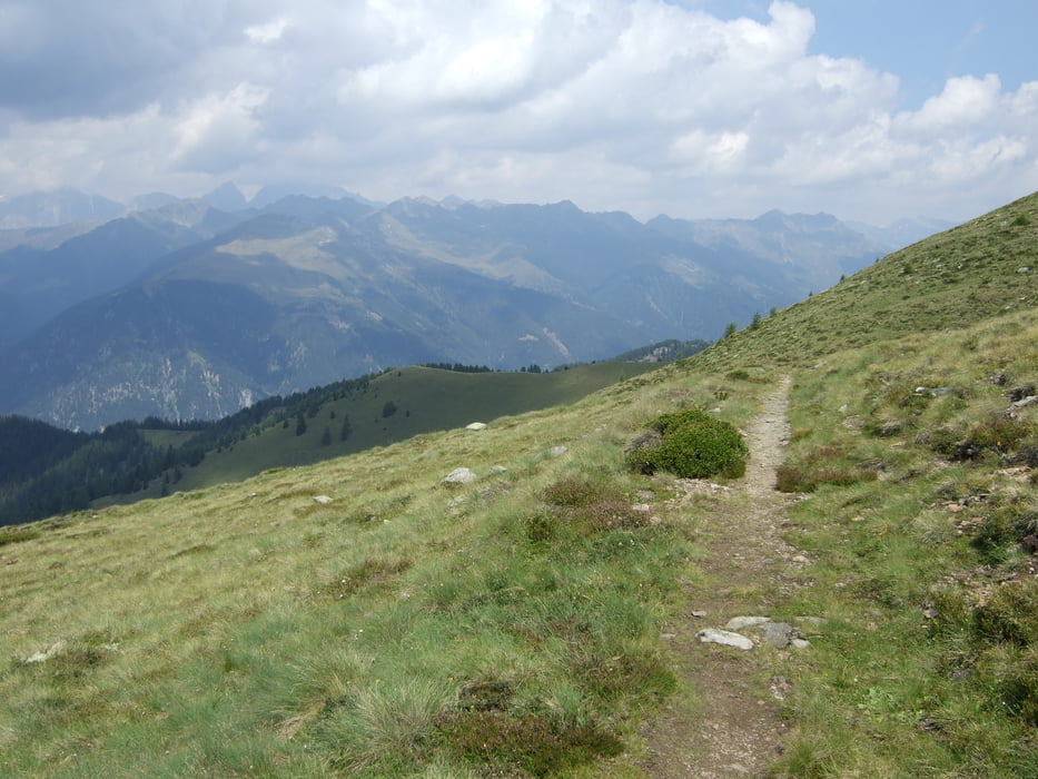
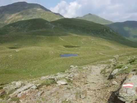
Partenza da Dobbiaco e salita comoda sulla strada e strada bianca 1B fino alla Malga Silvestealm, dopodiché si prende la bella strada Militare nr10 che ci porta fino alla vetta del Marchkinkele / Cornetto di confine, adesso si prende il bel sentiero 1H(abbastanza tecnico) fino al corno di Fana, ogni tanto si deve spingere la bici. Dalla Cima del Corno di Fana, si scende su un bellissimo single track fino la Pfanntoerlper poi salire fino poco sotto alla vetta del Corno Alto (spingendo ogni tanto), adesso si scende sempre su bellissimi Single track (parecchio tecnicho) fino prendere la strada forestale che ci porta a Dobbiaco.
Partenza da Dobbiaco e salita comoda sulla strada e strada bianca 1B fino alla Malga Silvestealm, dopodiché si prende la bella strada Militare nr10 che ci porta fino alla vetta del Marchkinkele / Cornetto di confine, adesso si prende il bel sentiero 1H(abbastanza tecnico) fino al corno di Fana, ogni tanto si deve spingere la bici. Dalla Cima del Corno di Fana, si scende su un bellissimo single track fino la Pfanntoerlper poi salire fino poco sotto alla vetta del Corno Alto (spingendo ogni tanto), adesso si scende sempre su bellissimi Single track (parecchio tecnicho) fino prendere la strada forestale che ci porta a Dobbiaco.
Tour gallery
Tour map and elevation profile
Minimum height 1222 m
Maximum height 2662 m
More about the tour author

|
Silvia_Arno |
Comments

GPS tracks
Trackpoints-
GPX / Garmin Map Source (gpx) download
-
TCX / Garmin Training Center® (tcx) download
-
CRS / Garmin Training Center® (crs) download
-
Google Earth (kml) download
-
G7ToWin (g7t) download
-
TTQV (trk) download
-
Overlay (ovl) download
-
Fugawi (txt) download
-
Kompass (DAV) Track (tk) download
-
Track data sheet (pdf) download
-
Original file of the author (gpx) download
More about the tour author
|
|
Silvia_Arno |
Add to my favorites
Remove from my favorites
Edit tags
Open track
My score
Rate