Login

Forgot your login?

Cookies have to be accepted!
Your browser's cookie functionality is disabled. Please enable this functionality.

Not a member yet?

Register now
Login

Available for registred users only

Log in to use this feature.

Forgot your login?

Cookies have to be accepted!
Your browser's cookie functionality is disabled. Please enable this functionality.

Not a member yet?

Register now
Filter
Categories
Advanced filters
  • Distance (km)
  • Height
Save filters Reset filter

TrackRank

QRCode

Technical data

Distance99,9 km Height882 m Way down872 m Duration04:20 h:m Date02.08.2009
Scores Author Landscape Fun factor Fitness Technique

Statistics

397 Views Scores 53 Downloads Average
Rate
  • Track data sheet
  • Directions
  • Downloads
Timelkam-Schwarzmoos-Zipf-Vöcklamarkt-Frankenmarkt-Haslau-Moondseeberg-Moondsee-Rund um den Irrsee-Zurück nach Mondsee-Linke Seite des Sees bis Loibichl-Oberwang-Srass-St.Georgen-Kemating-Lenzing-Timelkam
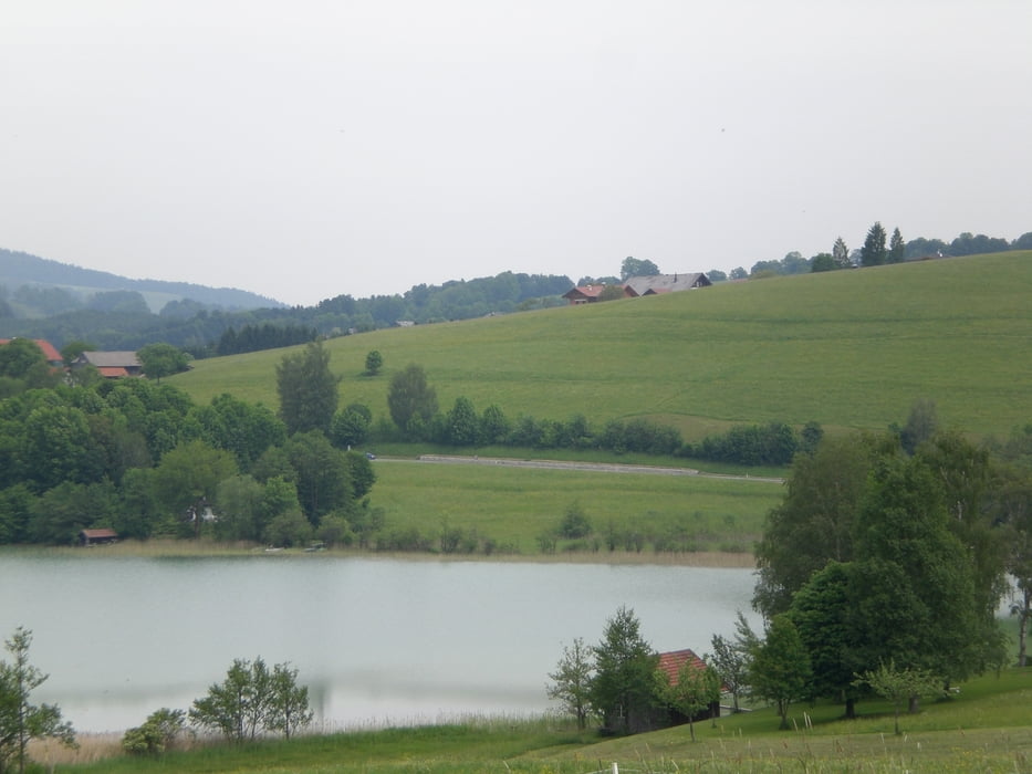
Tour gallery

Tour map and elevation profile

  • Open Street Map
  • Google
Minimum height 438 m Maximum height 793 m Detailed view

More about the tour author

jopet
Member since 2008

Send private message

Comments

GPS tracks

Trackpoints
  • GPX / Garmin Map Source (gpx) download
  • TCX / Garmin Training Center® (tcx) download
  • CRS / Garmin Training Center® (crs) download
  • Google Earth (kml) download
  • G7ToWin (g7t) download
  • TTQV (trk) download
  • Overlay (ovl) download
  • Fugawi (txt) download
  • Kompass (DAV) Track (tk) download
  • Track data sheet (pdf) download
  • Original file of the author (gpx) download

More about the tour author

jopet
Member since 2008

Send private message
Share track
Add to my favorites
Remove from my favorites
Edit tags
My score
Rate
Track: Moondseeberg
Type: Road biking
Distance: 99,9 km
Evaluated on:
Duration:
Day(s)
Hour(s)
Minute(s)
Score: Landscape Fun factor Fitness Technique