
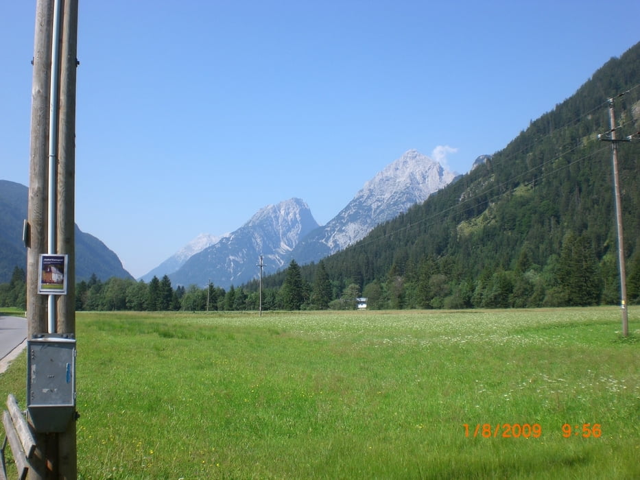

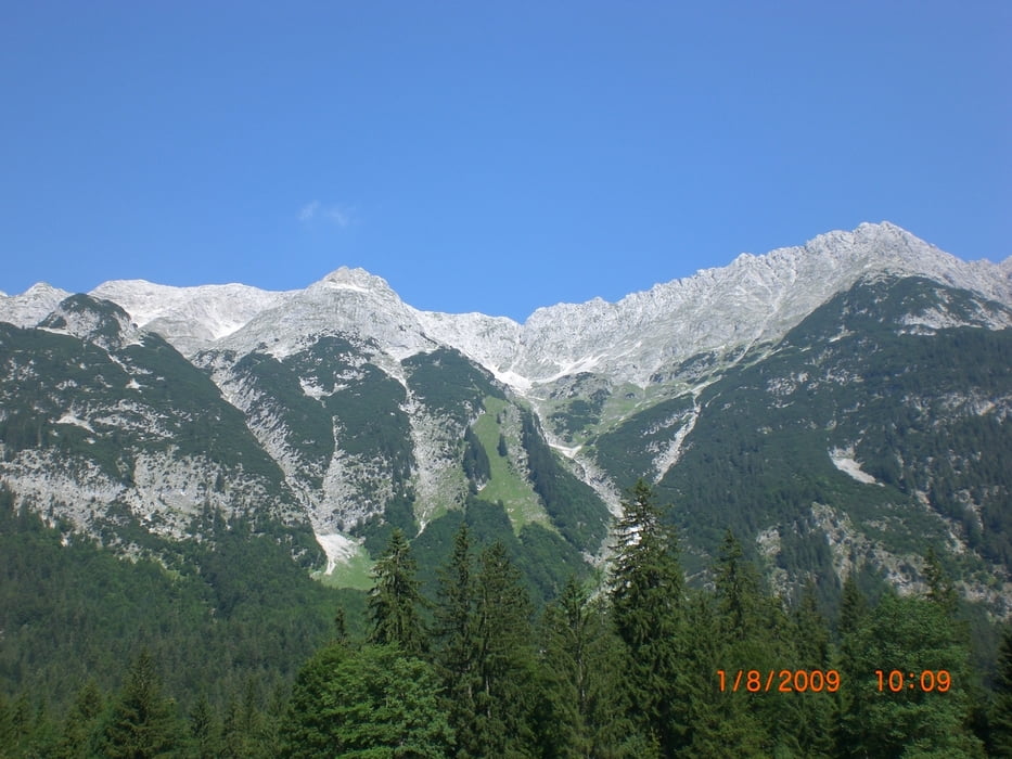
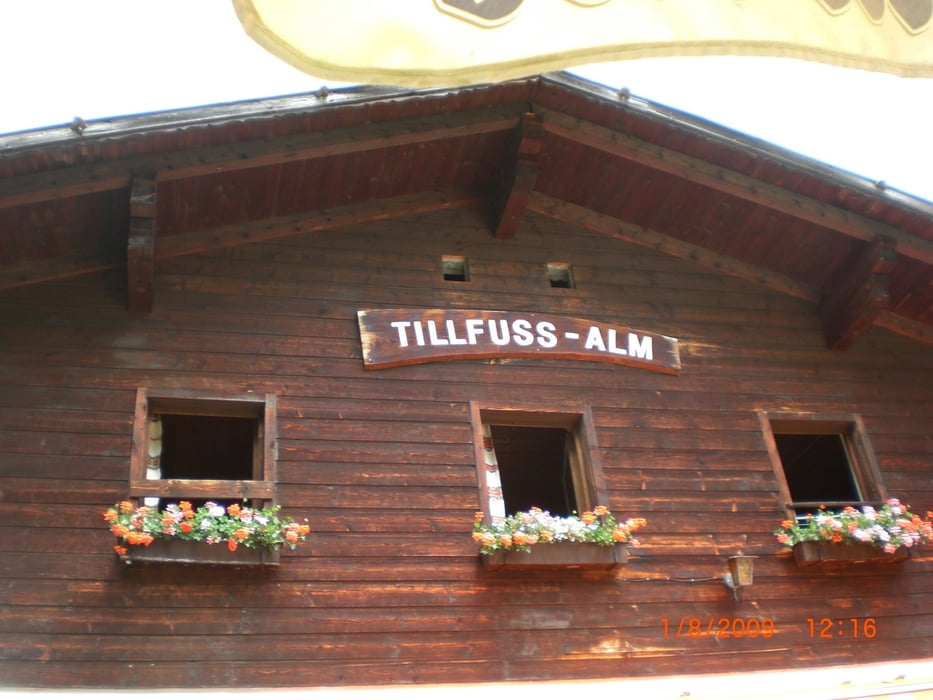
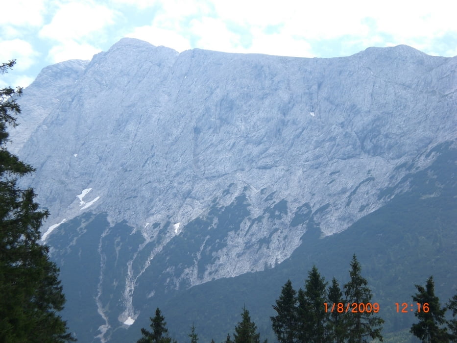
Eine leichte aber doch recht schöne Tour von Mittenwald aus durch das Gaistal bis zur Tillfusalm. Die Tour startet in Mittenwald und geht dann auf der Straße über die Grenze Richtung Leutasch durch das Gaistal. Sind die Tour auf dem Hinweg größtenteils auf der Straße gefahren, dabei haben wir auch kurz die Leutascher Ache druchgequert um auf den Radweg zu kommen :-) . Der Rückweg von der Tillfussalm ging dann komplett über den Radweg durch die Leutascher Klamm (dort ist teilweise Fahrrad fahren verboten) zurück nach Mittenwald.
Tour gallery

Tour map and elevation profile
Minimum height 831 m
Maximum height 1384 m
More about the tour author

|
Onkel-Stussi |
Comments

GPS tracks
Trackpoints-
GPX / Garmin Map Source (gpx) download
-
TCX / Garmin Training Center® (tcx) download
-
CRS / Garmin Training Center® (crs) download
-
Google Earth (kml) download
-
G7ToWin (g7t) download
-
TTQV (trk) download
-
Overlay (ovl) download
-
Fugawi (txt) download
-
Kompass (DAV) Track (tk) download
-
Track data sheet (pdf) download
-
Original file of the author (gpx) download
More about the tour author
|
|
Onkel-Stussi |
Add to my favorites
Remove from my favorites
Edit tags
Open track
My score
Rate