
")

Von Albersweiler entlang der Weinberge am Fusse der Pfalz auf vielen Teerstrassen nach Neustadt an der Weinstresse.
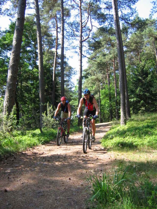
Dann kommen jedoch die Singeltrails.
Wir sind die Tour 3482 von Klemens Schmid gefahren, haben diese jedoch mit deutlich mehr Single Trails gefahren.
Dann kommen jedoch die Singeltrails.
Wir sind die Tour 3482 von Klemens Schmid gefahren, haben diese jedoch mit deutlich mehr Single Trails gefahren.
Further information at
http://www.biketreff-niefern.deTour gallery
Tour map and elevation profile
Minimum height 123 m
Maximum height 674 m
More about the tour author

|
winklem |
Comments

Start in Albersweiler, einfach einen Parkplatz suchen.
GPS tracks
Trackpoints-
GPX / Garmin Map Source (gpx) download
-
TCX / Garmin Training Center® (tcx) download
-
CRS / Garmin Training Center® (crs) download
-
Google Earth (kml) download
-
G7ToWin (g7t) download
-
TTQV (trk) download
-
Overlay (ovl) download
-
Fugawi (txt) download
-
Kompass (DAV) Track (tk) download
-
Track data sheet (pdf) download
-
Original file of the author (g7t) download
More about the tour author
|
|
winklem |
Add to my favorites
Remove from my favorites
Edit tags
Open track
My score
Rate