Login

Forgot your login?

Cookies have to be accepted!
Your browser's cookie functionality is disabled. Please enable this functionality.

Not a member yet?

Register now
Login

Available for registred users only

Log in to use this feature.

Forgot your login?

Cookies have to be accepted!
Your browser's cookie functionality is disabled. Please enable this functionality.

Not a member yet?

Register now
Filter
Categories
Advanced filters
  • Distance (km)
  • Height
Save filters Reset filter

TrackRank

QRCode

Technical data

Distance48,1 km Height1058 m Way down1357 m Duration04:30 h:m Date03.08.2009
Scores Author Landscape Fun factor Fitness Technique

Statistics

1587 Views 1 Score 221 Downloads 3.00 Average
Rate
  • Track data sheet
  • Directions
  • Downloads

Verlauf:

Neuhaus - Spitzingsee - Valepp - Ackeralm - Ursprungpass - Bayrisch Zell - Neuhaus


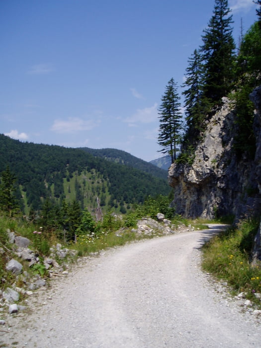
Die Strecke ist bis auf die lange, steile und der Sonne ausgesetzten Auffahrt zur Ackeralm ohne Schwierigkeiten zu fahren. Nach der Ackeralm folgt eine lange Abfahrt auf einer schmalen Asphaltstrasse. Hier hat man tolle Ausblicke auf das Kaisergebirge. Zurück in Deutschland geht's beim Zipflwirt auf einen Trail bis nach Bayrisch Zell.

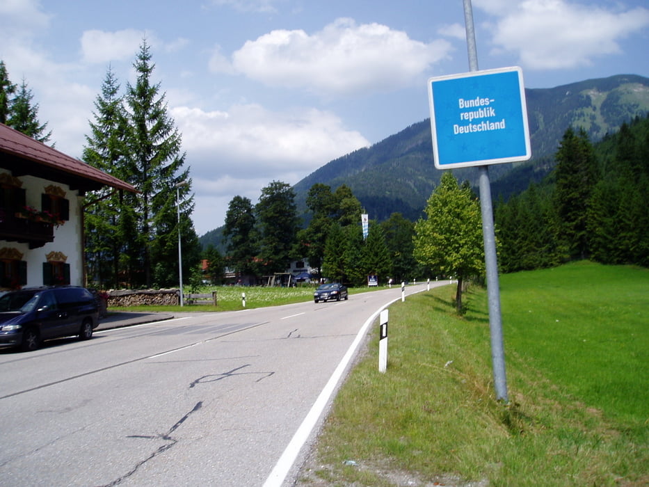
Beim Grenzübergang kurz nach Valepp gibt es eine kurze Schiebepassage.


Tour gallery

Tour map and elevation profile

  • Open Street Map
  • Google
Minimum height 777 m Maximum height 1350 m Detailed view

More about the tour author

broken.frame
Member since 2008

Send private message

Comments

Erdbert on 03.08.2009

Höhenprofil?

Da stimmt doch was mit dem Profil nicht, man kommt viel tiefer an, als man losfährt an der gleichen Stelle.

Ja, das waren bei meinem Garmin leider ein paar Aussetzer. Es müßten ca. 1300 Hm sein.
Bam on 15.09.2012

gleiche Tour wie #39185

GPS Höhenprofil ist bei der #39185 korrekter

GPS tracks

Trackpoints
  • GPX / Garmin Map Source (gpx) download
  • TCX / Garmin Training Center® (tcx) download
  • CRS / Garmin Training Center® (crs) download
  • Google Earth (kml) download
  • G7ToWin (g7t) download
  • TTQV (trk) download
  • Overlay (ovl) download
  • Fugawi (txt) download
  • Kompass (DAV) Track (tk) download
  • Track data sheet (pdf) download
  • Original file of the author (gpx) download

More about the tour author

broken.frame
Member since 2008

Send private message
Share track
Add to my favorites
Remove from my favorites
Edit tags
My score
Rate
Track: Um das hintere Sonnwendjoch
Type: Mountain bike
Distance: 48,1 km
Evaluated on:
Duration:
Day(s)
Hour(s)
Minute(s)
Score: Landscape Fun factor Fitness Technique