


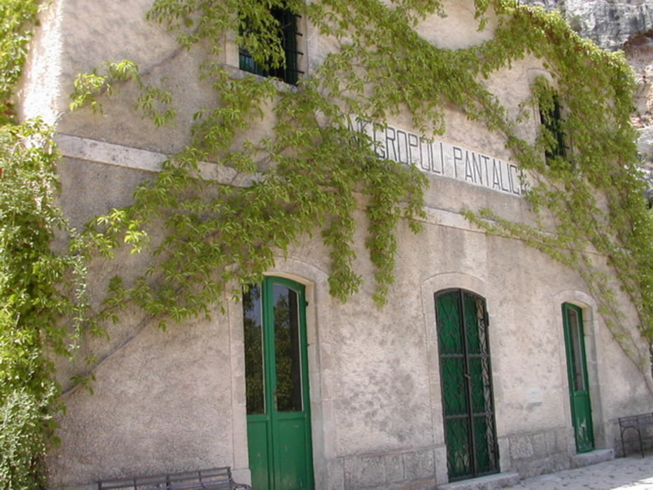
Partenza contrada fusco si percorre un tratto della vecchia linea ferrata fino all'antica stazione di pantalica,poco dopo sulla destra si prende il sentiero filipporto tratto stupendo e al quanto impegnativo.
Al bivio si procede per il sentiero Anaktoron fino ad arrivare alle rovine del vecchio castello dove si può ammirare un'ottimo panorama-
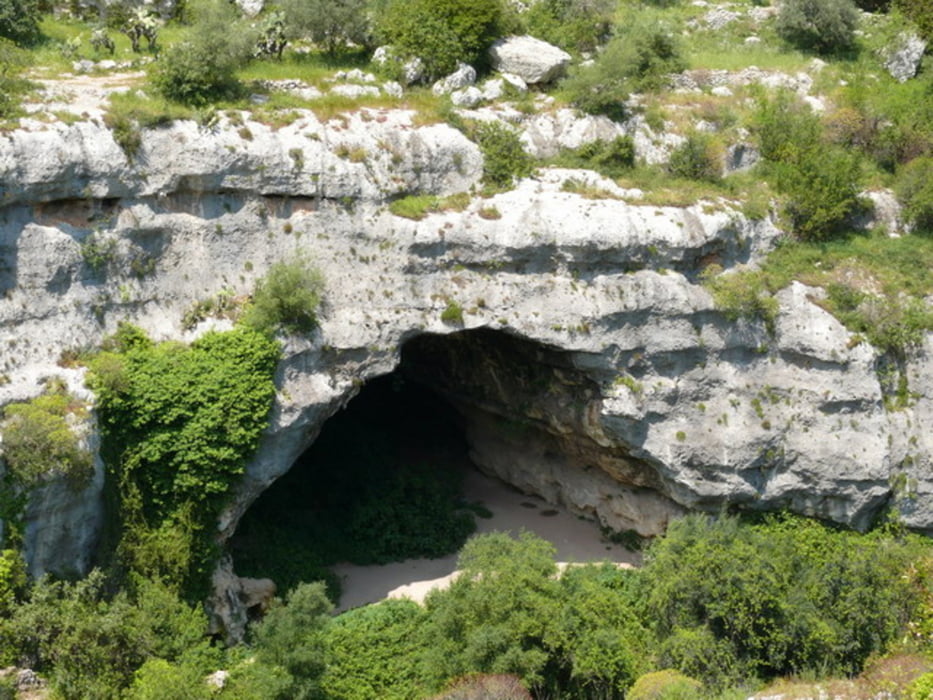
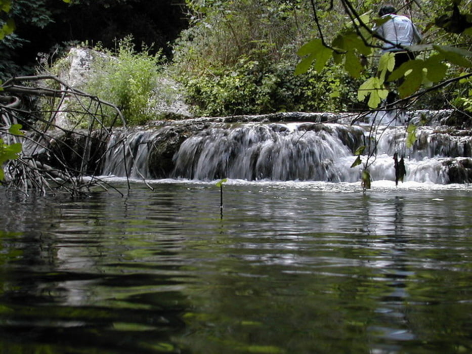
Da quì si procede lungo il sentiero fino ad incrociare l'asfalto che ci porta ad ammirare la grotta dei pipistrelli e giù il fiume calcinare immerso in una natura lussureggiante ed incontaminata.
Tratto in salita tra vecchi sentieri molto impegnativi ci portano ad ammirare un'infinità di tombe sparse lungo le pareti rocciose fino ad incrociare un'altra casetta forestale per poi proseguire poco dopo attraverso una scaletta che ci porterà nella parte finale del percorso ripercorrendo una parte del tracciato già fatto-
Tour gallery
Tour map and elevation profile
Minimum height 126 m
Maximum height 346 m
More about the tour author
|
|
ginobike |
Comments

GPS tracks
Trackpoints-
GPX / Garmin Map Source (gpx) download
-
TCX / Garmin Training Center® (tcx) download
-
CRS / Garmin Training Center® (crs) download
-
Google Earth (kml) download
-
G7ToWin (g7t) download
-
TTQV (trk) download
-
Overlay (ovl) download
-
Fugawi (txt) download
-
Kompass (DAV) Track (tk) download
-
Track data sheet (pdf) download
-
Original file of the author (gpx) download
More about the tour author
|
|
ginobike |
Add to my favorites
Remove from my favorites
Edit tags
Open track
My score
Rate