


Start kath.Kirche Hagen-Vorhalle, Funkenhausen,Cafe Halle,Schmandbruch,Gut Berge, Silschede,Asbeck,Stefanstal,Gevelsberg-Kruiner Tunnel,Ehrenmal, Wildgatter,Aske,Voerder Str.,Hestert-Bad,Klutertweg,Kampfbahn,Deerth,Drei Türme Weg,Stadtgarten,Kultopia,Ende
Track besteht aus Teerweg, Waldwegen, Forstautobahnen,Schotterwegen und leider auch ein paar echten Strassen.
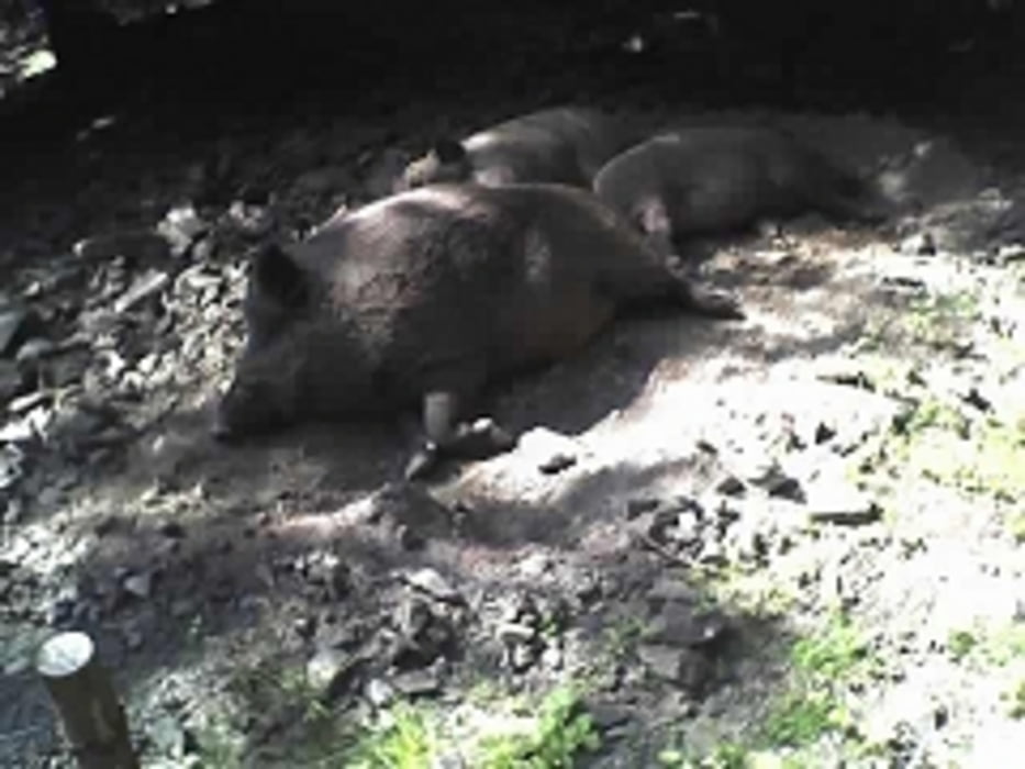
Tour gallery

Tour map and elevation profile
Minimum height 83 m
Maximum height 337 m
More about the tour author
|
|
rotwilder |
Comments

Kath.Kirche Hagen Vorhalle, Abfahrt A1 Hagen West der Beschilderung folgen.
GPS tracks
Trackpoints-
GPX / Garmin Map Source (gpx) download
-
TCX / Garmin Training Center® (tcx) download
-
CRS / Garmin Training Center® (crs) download
-
Google Earth (kml) download
-
G7ToWin (g7t) download
-
TTQV (trk) download
-
Overlay (ovl) download
-
Fugawi (txt) download
-
Kompass (DAV) Track (tk) download
-
Track data sheet (pdf) download
-
Original file of the author (gpx) download
More about the tour author
|
|
rotwilder |
Add to my favorites
Remove from my favorites
Edit tags
Open track
My score
Rate