

Vom Valgrisenche über den Col du Mont nach Chenal
Schöne Tour, bergauf einfach, bergab schwer.
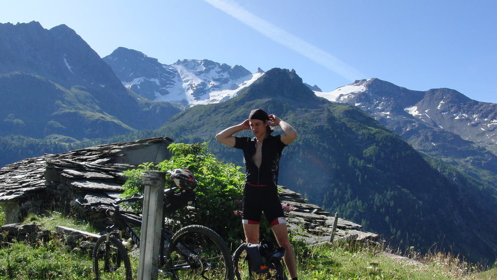
von Bone`ca.1800MünN, gehts erstmal auf Straße das Tal hoch.
bis zum wanderweg den dann berg auf, gut fahrbar.
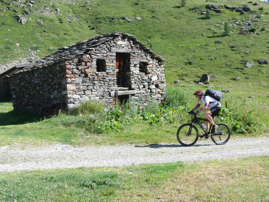
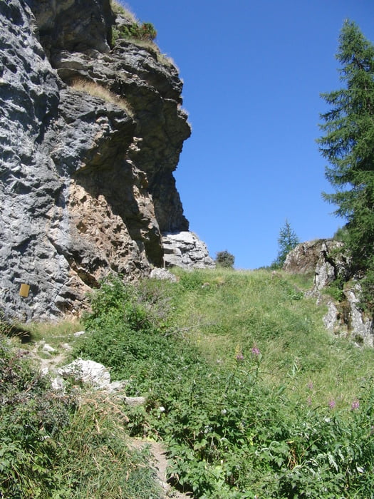
Vorbei an bewirtschafteter Alm noch ein paar meter dann ist schieben angesagt. vorbei an verfallenem Haus, auf schmalem Grad rauf zu Pass. Bei gutem Wetter kein Problem bei Regen bestimmt rutschig.
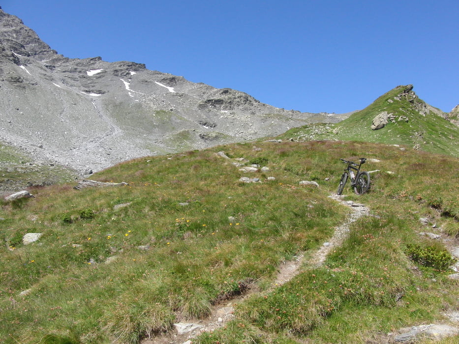
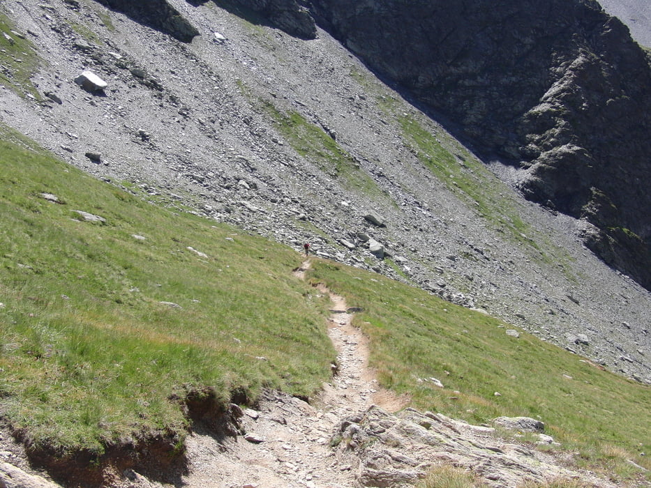
Oben ab dem Pass schöner Singeltrail bergab teilweise technisch sehr anspruchsvoll, mit Fully aber kein thema. bis zu Rifuge de l' Archeboc, ab dann durch Wiesen und Wald auf zum Teil traumhaften Trails. Über ein paar giftige Anstiege am Tal entlang richtung Monal und Chenal.
Tour gallery
Tour map and elevation profile
Minimum height 1655 m
Maximum height 2641 m
More about the tour author
|
|
canyonmeier |
Comments

Autobahn bis Aosta dann richtung kleiner Sankt Bernhard bis Leverogne hier ins Valgrisenche, rauf bis Bone.
GPS tracks
Trackpoints-
GPX / Garmin Map Source (gpx) download
-
TCX / Garmin Training Center® (tcx) download
-
CRS / Garmin Training Center® (crs) download
-
Google Earth (kml) download
-
G7ToWin (g7t) download
-
TTQV (trk) download
-
Overlay (ovl) download
-
Fugawi (txt) download
-
Kompass (DAV) Track (tk) download
-
Track data sheet (pdf) download
-
Original file of the author (gpx) download
More about the tour author
|
|
canyonmeier |
Add to my favorites
Remove from my favorites
Edit tags
Open track
My score
Rate