


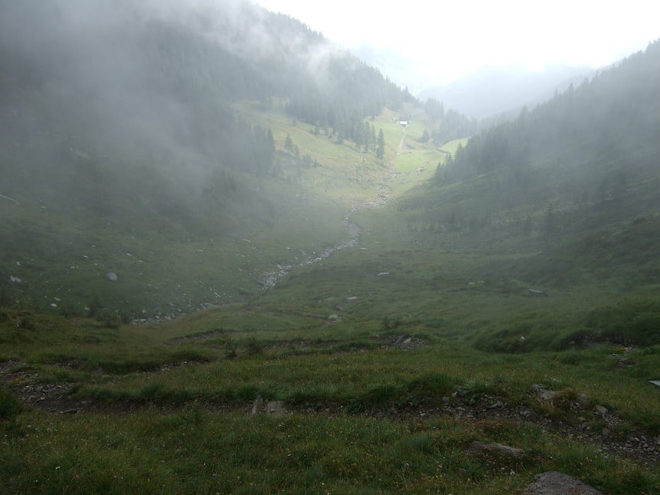
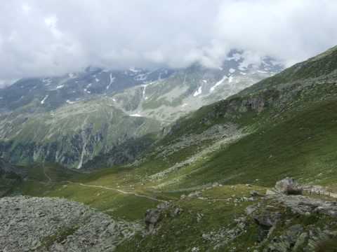
Panorami bellissimi, poca gente è single track molto belle, ma questo giro è riservato per gli amanti della fatica (600mt bici in spalla!!!)
Partenza subito dopo Lappago, inizialmente si sale la forestale con segnavia nr.22 per il Lappache Joechel, dopo quota 2150m si deve portare la mtb fino il passo (2371m), discesa bellissima e abb. tecnica fino il paese di Riobianco 1350m.
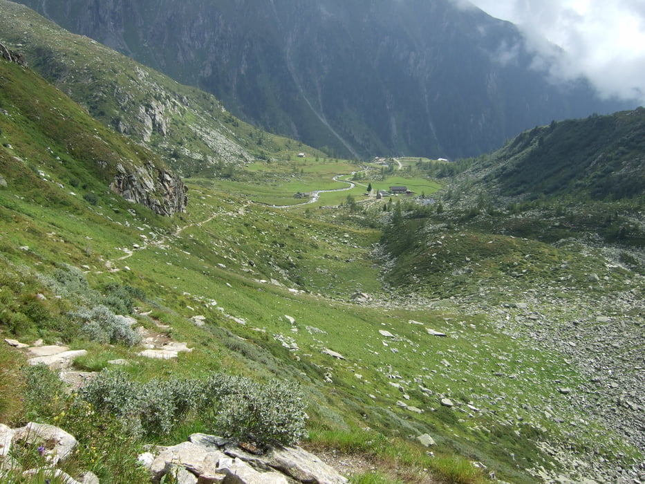
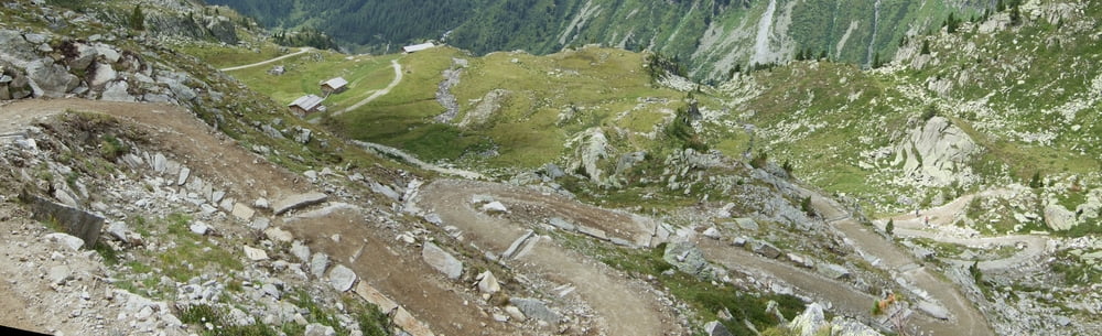
Salita sulla strada Forestale (sent.24)fino alla malga Goge 2027m sempre pedalabili ma poi aspettano 400m di salita con la bici in spalla fino raggiungere la il Rif. Porro 2419m. Bella discesa fino la diga, alla fine si prende il bellissimo Single Track che parte 50 m dopo la diga, che ci porta fino il Parcheggio.
Tour gallery
Tour map and elevation profile
Minimum height 1372 m
Maximum height 2423 m
More about the tour author

|
Silvia_Arno |
Comments

Brunico - Molino Tures - Valle Selva dei Molini - Lappago
GPS tracks
Trackpoints-
GPX / Garmin Map Source (gpx) download
-
TCX / Garmin Training Center® (tcx) download
-
CRS / Garmin Training Center® (crs) download
-
Google Earth (kml) download
-
G7ToWin (g7t) download
-
TTQV (trk) download
-
Overlay (ovl) download
-
Fugawi (txt) download
-
Kompass (DAV) Track (tk) download
-
Track data sheet (pdf) download
-
Original file of the author (gpx) download
More about the tour author
|
|
Silvia_Arno |
Add to my favorites
Remove from my favorites
Edit tags
Open track
My score
Rate