


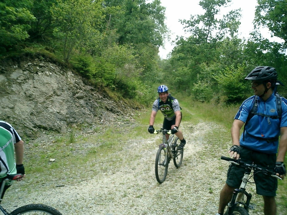
Eine schöne Tour von Hermeskeil über den Fischweiher in Beuren bis runter zur Drohn. An der Drohn angekommen hält man sich rechts Richtung Drohnecken. Noch vor Drohnecken geht es rechts Richtung Abtei. Wenn man die steile Auffahrt geschafft hat folgt man dem Weg bis zu einer Marienstatur die in einem Fels eingebettet steht. Dort biegt man rechts ab auf den Sigletrail der durch Wildschweine recht aufgewült ist. Diesem folgt man bis hoch nach Abtei und dann weiter nach Hermeskeil zurück.
Gruß und viel Spaß
Further information at
http://www.hermeskeil.de/tourist/freizeit/radfahren/radfahren.htmTour gallery


Tour map and elevation profile
Minimum height 307 m
Maximum height 568 m
More about the tour author
|
|
wblasius |
Comments

Autobahn:
A1 Abfahrt Hermeskeil
Bus:
R200 bis zum Bahnhof
GPS tracks
Trackpoints-
GPX / Garmin Map Source (gpx) download
-
TCX / Garmin Training Center® (tcx) download
-
CRS / Garmin Training Center® (crs) download
-
Google Earth (kml) download
-
G7ToWin (g7t) download
-
TTQV (trk) download
-
Overlay (ovl) download
-
Fugawi (txt) download
-
Kompass (DAV) Track (tk) download
-
Track data sheet (pdf) download
-
Original file of the author (gpx) download
More about the tour author
|
|
wblasius |
Add to my favorites
Remove from my favorites
Edit tags
Open track
My score
Rate