


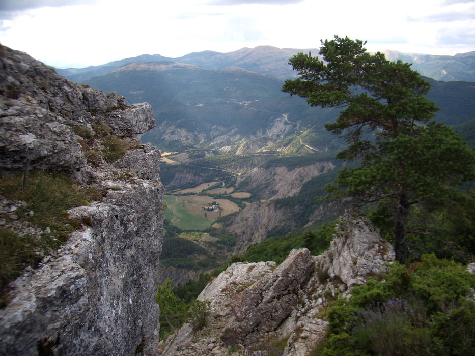
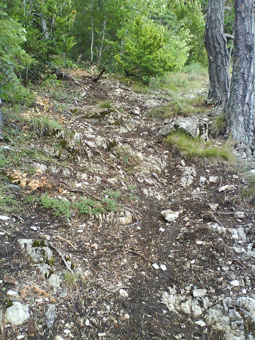
Tour von La Faurie auf den Flugberg ( Gleitschirm/Drachen) von Aspre. Es ist eine kleine Runde am Nachmittag die aber nicht ohne ist. Der Anstieg beginnt mit Teer und wird schnell zur Schotterpiste, die zum Startplatz führt. Hier kann man den Fliegern zusehen und rasten. Danach gehts über den Bergrücken mit tollen Aussichten zum Einstieg in den Single Trail, der zurück ins Tal führt.
Tour gallery
Tour map and elevation profile
Minimum height 826 m
Maximum height 1577 m
More about the tour author

|
Paul.Steffes |
Comments

La Faurie liegt an der N75 die Straße von Grenoble nach Sisteron. In La Faurie zum Campingplatz abbiegen. Hier wird losgefahren.
GPS tracks
Trackpoints-
GPX / Garmin Map Source (gpx) download
-
TCX / Garmin Training Center® (tcx) download
-
CRS / Garmin Training Center® (crs) download
-
Google Earth (kml) download
-
G7ToWin (g7t) download
-
TTQV (trk) download
-
Overlay (ovl) download
-
Fugawi (txt) download
-
Kompass (DAV) Track (tk) download
-
Track data sheet (pdf) download
-
Original file of the author (gpx) download
More about the tour author
|
|
Paul.Steffes |
Add to my favorites
Remove from my favorites
Edit tags
Open track
My score
Rate