


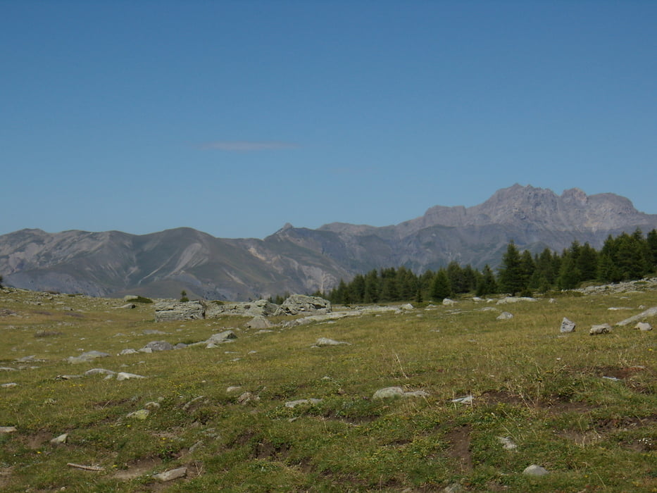
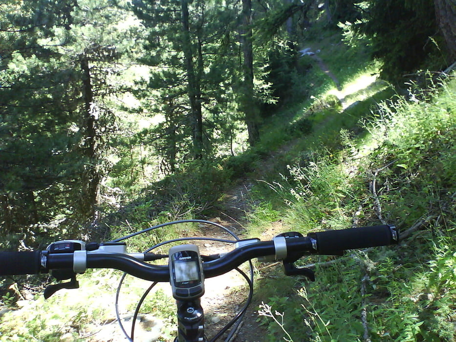
Anspruchsvolle Tour um und auf die Dormilouse. Es geht erst bergauf über Teer und Schotter dann über schwere Trails hinauf zur Dormilouse. Hin und wieder muß man sein Bike mal in die Hand nehmen. Nach dem Pass gibts ne Hütte im Skigebiet von St.Jean zur Einkehr und Stärkung. dann gehts zurück um die Dormilouse und am Ende noch mal ein schöner Trail zurück ins Tal nach Le Lauzet
Tour gallery
Tour map and elevation profile
Minimum height 883 m
Maximum height 2149 m
More about the tour author

|
Paul.Steffes |
Comments

Le Lauzet liegt am Anfang des Ubaye Tales. An dessen Ende Barcelonette und am Anfang der Lac de Serre Poncon liegt
GPS tracks
Trackpoints-
GPX / Garmin Map Source (gpx) download
-
TCX / Garmin Training Center® (tcx) download
-
CRS / Garmin Training Center® (crs) download
-
Google Earth (kml) download
-
G7ToWin (g7t) download
-
TTQV (trk) download
-
Overlay (ovl) download
-
Fugawi (txt) download
-
Kompass (DAV) Track (tk) download
-
Track data sheet (pdf) download
-
Original file of the author (gpx) download
More about the tour author
|
|
Paul.Steffes |
Add to my favorites
Remove from my favorites
Edit tags
Open track
My score
Rate