

Start und Ziel sind die Parkplätze hinter dem KneipKurhaus.
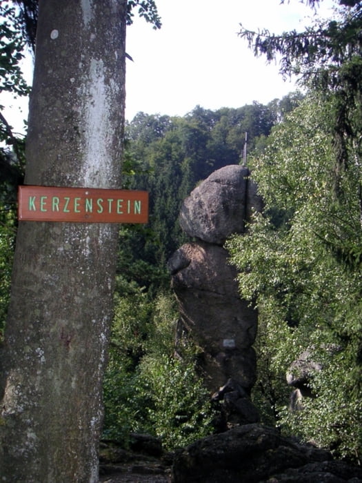
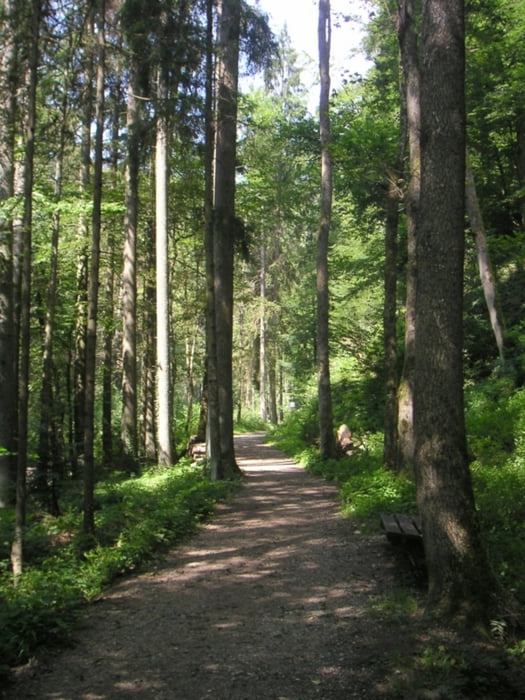
Richtung Kerzenstein immer rechts vom Pesenbach gehen.
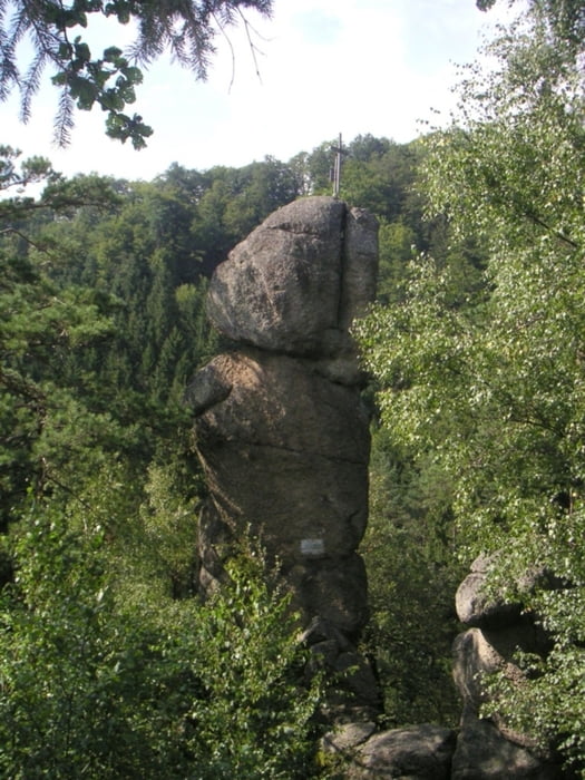
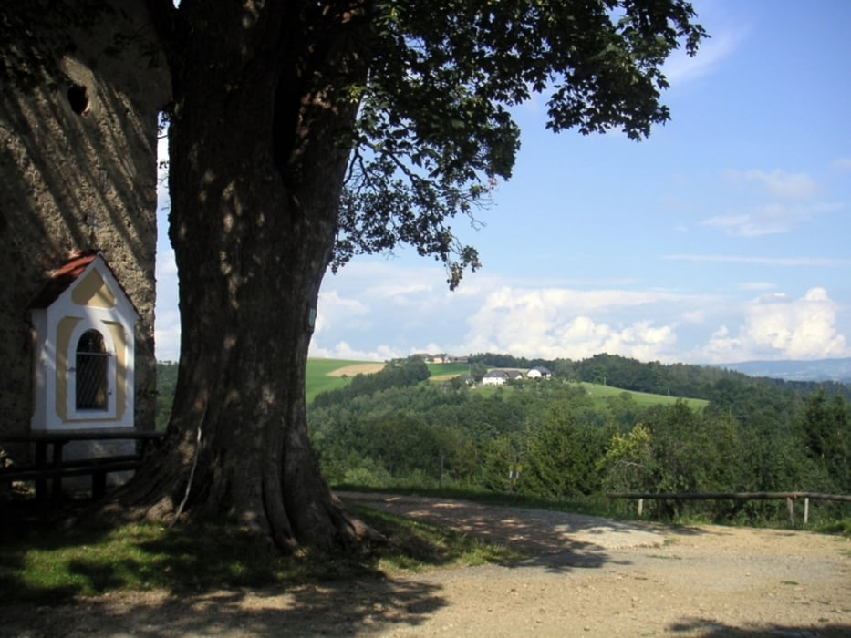
Beim Kerzenstein angekommen, können sie noch ca 15 min weiter zur Jausenstation Fürstberger gehen und den excelenten Most und Hollersaft genießen. (Öffnungszeiten Fr-So + Feiertage 13:30 - 21:00 Lt. Schild)
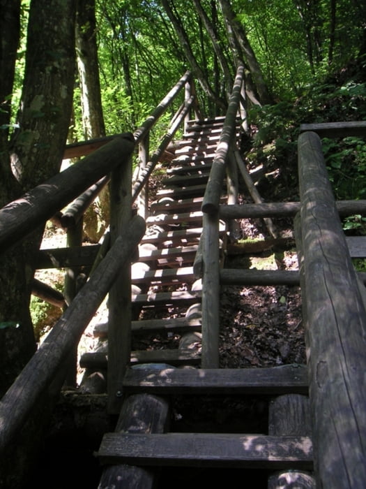
Zurück geht es anfangs auf dem selben Weg bis zur Brücke. Hier können sie die Seite wechseln. Links vom Bach geht es dann wie der Retour zum Parkplatz.
Further information at
http://www.tiscover.com/at/guide/52438at,de,SCH1/objectId,IND473804at,curr,EUR,hdpId,HDP1022687at,parentId,RGN106865at,season,at2,selBlk,ADDPGBLK,selElem,BKE8UEat,tis.byp,hdp/intern.htmlTour gallery
Tour map and elevation profile
Minimum height 275 m
Maximum height 500 m
More about the tour author
|
|
hknmi |
Comments

GPS tracks
Trackpoints-
GPX / Garmin Map Source (gpx) download
-
TCX / Garmin Training Center® (tcx) download
-
CRS / Garmin Training Center® (crs) download
-
Google Earth (kml) download
-
G7ToWin (g7t) download
-
TTQV (trk) download
-
Overlay (ovl) download
-
Fugawi (txt) download
-
Kompass (DAV) Track (tk) download
-
Track data sheet (pdf) download
-
Original file of the author (gpx) download
More about the tour author
|
|
hknmi |
Add to my favorites
Remove from my favorites
Edit tags
Open track
My score
Rate