


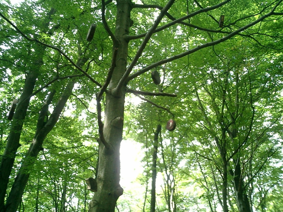
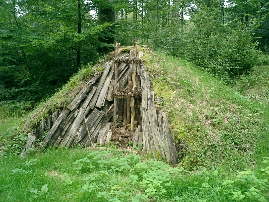
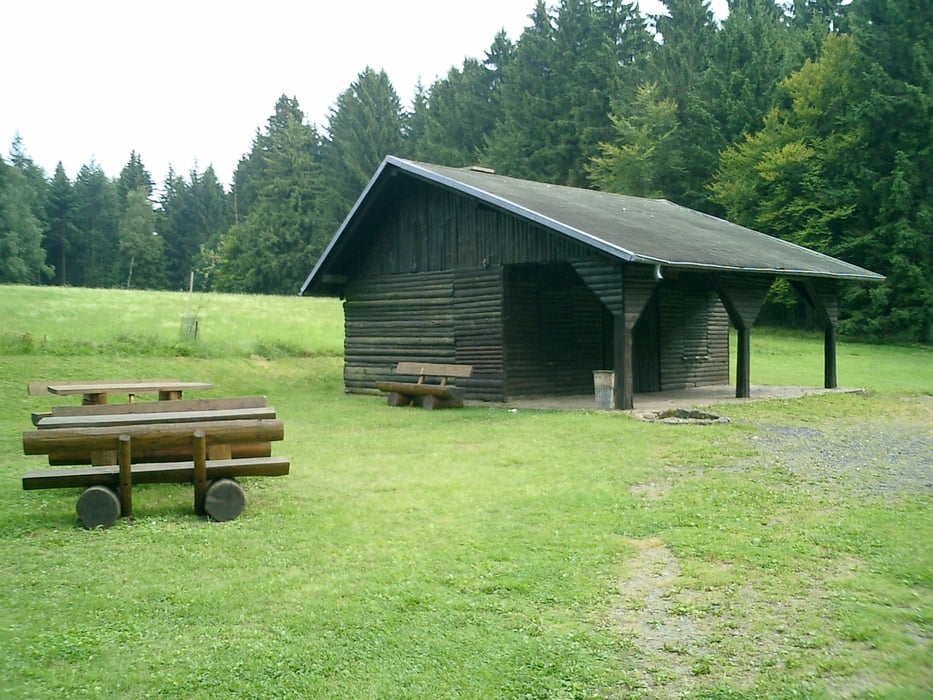
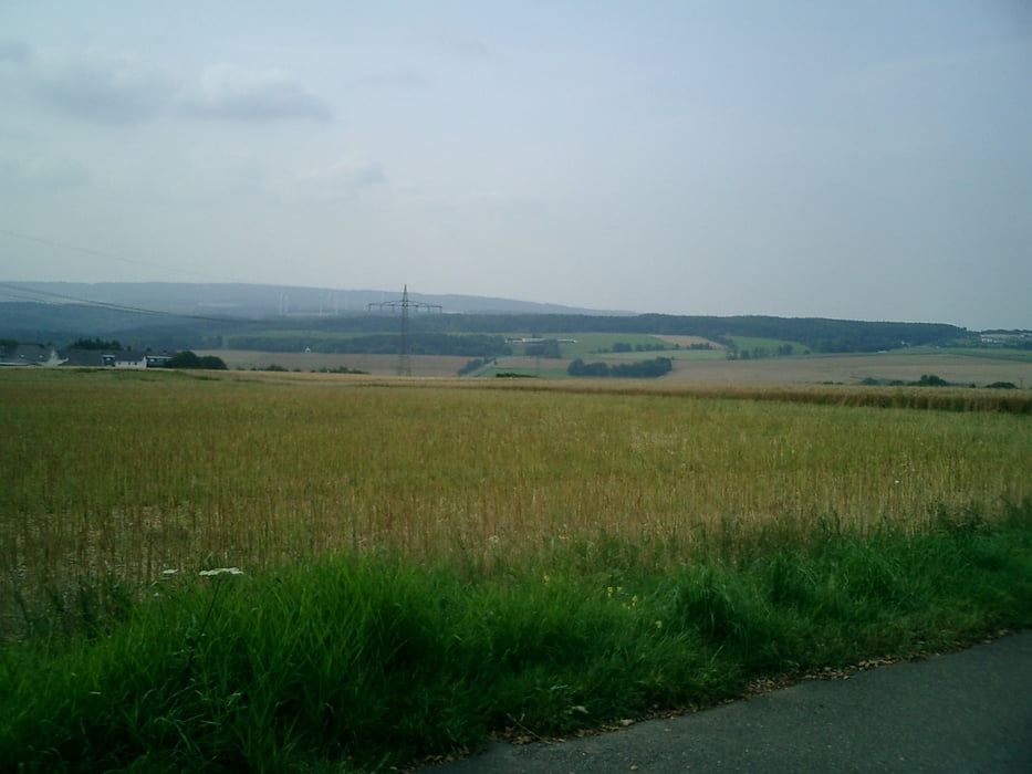
Schöne Tour auf Waldwegen zum Stausee Nonnweiler, weiter bergan zum Hunnenring bis man auf dem Dollberg den höchsten Punkt der Tour erreicht hat. Bevor man Muhl erreicht schwenkt man rechts ab in den Wald Richtung Damflos. Das letzte Stück von Damflos kann man den direkten steilen Weg (hohlen Weg) nehmen, oder rechts die etwas leichtere Variante Richtung Industriegebiet Grafenwald. Zum Schluß gehts dann noch auf zum Tivoli über den SH-Steig (viel Spaß) wieder zurück.
Further information at
http://www.saar-hunsrueck.de/berge/dollberg/dollberg.htmlTour gallery
Tour map and elevation profile
Minimum height 393 m
Maximum height 668 m
More about the tour author
|
|
wblasius |
Comments

Autobahn:
A1 Abfahrt Hermeskeil
Bus:
R200 Regiobus
GPS tracks
Trackpoints-
GPX / Garmin Map Source (gpx) download
-
TCX / Garmin Training Center® (tcx) download
-
CRS / Garmin Training Center® (crs) download
-
Google Earth (kml) download
-
G7ToWin (g7t) download
-
TTQV (trk) download
-
Overlay (ovl) download
-
Fugawi (txt) download
-
Kompass (DAV) Track (tk) download
-
Track data sheet (pdf) download
-
Original file of the author (gpx) download
More about the tour author
|
|
wblasius |
Add to my favorites
Remove from my favorites
Edit tags
Open track
My score
Rate