


Beschilderung
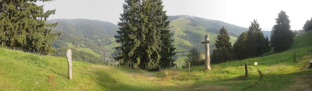
Dies ist eine von der Gemeinde Münstertal vorgeschlagene und ausgeschilderte Route, die von der Gemeinde als "einfach" eingestuft wurde.
Dieser Track gibt jedoch nicht die komplette Route wieder, sondern bricht am Kohlerhof ab und führt über den Gstihl und Gipfhof zurück zum Riggenbach.
Erwähnenswert ist die wirklich sehr Gute Ausschilderung der MTB-Routen in der Gemeinde Münstertal. Diese lässt keine Wünsche offfen.
Tour gallery

Tour map and elevation profile
Minimum height 381 m
Maximum height 788 m
More about the tour author
|
|
eifelkaiser |
Comments

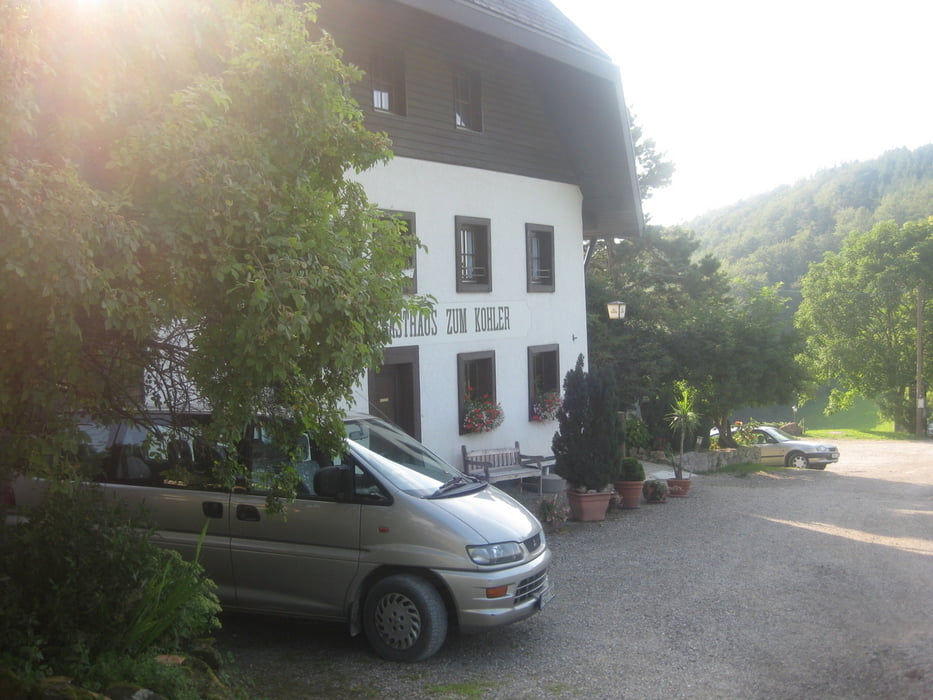
Man kann den Bahnhof Münstertal von Freiburg aus mit der Regionalbahn erreichen oder auch direkt am Bahnhof kostenlos parken. Weiterhin gibt es am Gipofhof einen kleinen Parkplatz.
GPS tracks
Trackpoints-
GPX / Garmin Map Source (gpx) download
-
TCX / Garmin Training Center® (tcx) download
-
CRS / Garmin Training Center® (crs) download
-
Google Earth (kml) download
-
G7ToWin (g7t) download
-
TTQV (trk) download
-
Overlay (ovl) download
-
Fugawi (txt) download
-
Kompass (DAV) Track (tk) download
-
Track data sheet (pdf) download
-
Original file of the author (gpx) download
More about the tour author
|
|
eifelkaiser |
Add to my favorites
Remove from my favorites
Edit tags
Open track
My score
Rate