Login

Forgot your login?

Cookies have to be accepted!
Your browser's cookie functionality is disabled. Please enable this functionality.

Not a member yet?

Register now
Login

Available for registred users only

Log in to use this feature.

Forgot your login?

Cookies have to be accepted!
Your browser's cookie functionality is disabled. Please enable this functionality.

Not a member yet?

Register now
Filter
Categories
Advanced filters
  • Distance (km)
  • Height
Save filters Reset filter

TrackRank

QRCode

Technical data

Distance11,0 km Height205 m Way down248 m Duration02:20 h:m Date15.08.2009
Scores Author Landscape Fun factor Fitness Technique

Statistics

324 Views Scores 44 Downloads Average
Rate
  • Track data sheet
  • Directions
  • Downloads

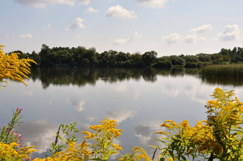
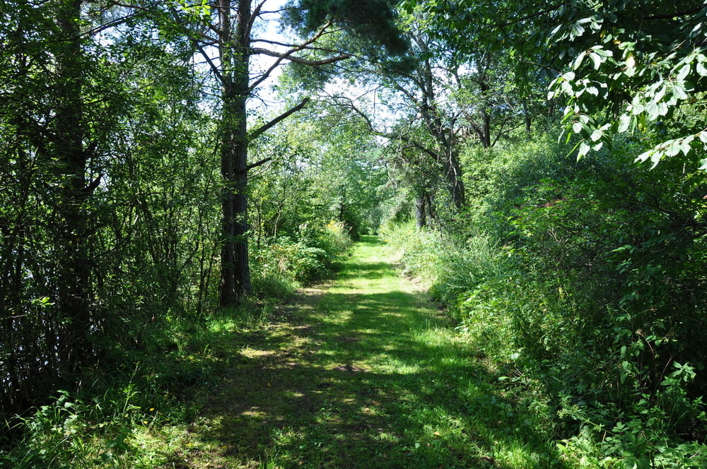
Wanderung rund um Ottenstein - Teichrunde (Nr.51) einfach toll, hinter jeder Wegbiegung eine ander Überaschung.

Der Schlußanstieg zur Staumauer ist nur Trittfesten zu empfehlen und nicht ganz legal.

Alle Fotos:

http://cid-dff63ce9c39979fe.skydrive.live.com/browse.aspx/Ottenstein?authkey=TGbEmx3lzkg%24&ct=photos


Tour gallery

Tour map and elevation profile

  • Open Street Map
  • Google
Minimum height 481 m Maximum height 606 m Detailed view

More about the tour author

Herbiy
Member since 2009

Send private message

Comments

GPS tracks

Trackpoints
  • GPX / Garmin Map Source (gpx) download
  • TCX / Garmin Training Center® (tcx) download
  • CRS / Garmin Training Center® (crs) download
  • Google Earth (kml) download
  • G7ToWin (g7t) download
  • TTQV (trk) download
  • Overlay (ovl) download
  • Fugawi (txt) download
  • Kompass (DAV) Track (tk) download
  • Track data sheet (pdf) download
  • Original file of the author (gpx) download

More about the tour author

Herbiy
Member since 2009

Send private message
Share track
Add to my favorites
Remove from my favorites
Edit tags
My score
Rate
Track: Teichrund / Ottenstein
Type: Hiking
Distance: 11,0 km
Evaluated on:
Duration:
Day(s)
Hour(s)
Minute(s)
Score: Landscape Fun factor Fitness Technique