


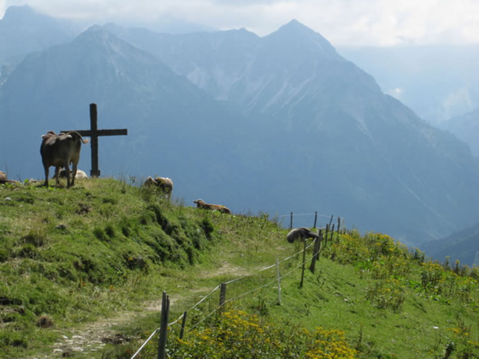
Einfache Bergtour mit sehr schönen Ausblicken in alle möglichen Regionen unter anderem Tannheimer Tal und Hintersteiner Tal bis hin nach Immenstadt.
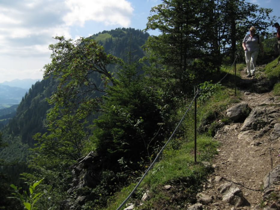
Bis auf ein kurzes Stück hinter dem Sattel des Jochschrofens einfach zu gehen, hier zugewachsen, etwas steil und stufig aber problemlos.
Ein Halt an der Hirschalpe lohnt sich, hausgemachter Käse und Wurst sowie faire Preise sind neben dem schönen Panorama Grund genug.
Tour gallery


Tour map and elevation profile
Minimum height 1139 m
Maximum height 1644 m
More about the tour author
|
|
dDesign |
Comments

A7 -> Ausfahrt Nesselwang -> Oberjoch -> Parkplatz Iseler (Startpunkt)
GPS tracks
Trackpoints-
GPX / Garmin Map Source (gpx) download
-
TCX / Garmin Training Center® (tcx) download
-
CRS / Garmin Training Center® (crs) download
-
Google Earth (kml) download
-
G7ToWin (g7t) download
-
TTQV (trk) download
-
Overlay (ovl) download
-
Fugawi (txt) download
-
Kompass (DAV) Track (tk) download
-
Track data sheet (pdf) download
-
Original file of the author (gpx) download
More about the tour author
|
|
dDesign |
Add to my favorites
Remove from my favorites
Edit tags
Open track
My score
Rate