


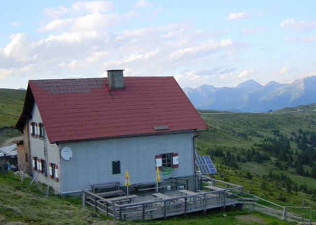
05.07.06 – Von Enzersdorf nach Oberzeiring, danach rechts abbiegen zum Windpark und zur Klosterneuburger-Hütte (Mautpflicht für Pkw!). Über Götzendorf und Pöls wieder retour zum Ausgangspunkt. Eine tolle Landschaft, gepaart mit moderner Öko-Technologie und genug Höhenmeter, dies alles bietet die geniale Tour!
Further information at
http://www.tauernwind.comTour gallery
Tour map and elevation profile
Minimum height 797 m
Maximum height 1892 m
More about the tour author
|
|
exitus |
Comments

Von der Bezirksstadt Judenburg (Plz 8750) die B317 Richtung Süden. Nach ca. 3km rechts auf die B114 Richtung Trieben abbiegen. Weiter bis nach Pöls (Plz 8761) und gleich nach der Ortstafel links Richtung Enzersdorf.
GPS tracks
Trackpoints-
GPX / Garmin Map Source (gpx) download
-
TCX / Garmin Training Center® (tcx) download
-
CRS / Garmin Training Center® (crs) download
-
Google Earth (kml) download
-
G7ToWin (g7t) download
-
TTQV (trk) download
-
Overlay (ovl) download
-
Fugawi (txt) download
-
Kompass (DAV) Track (tk) download
-
Track data sheet (pdf) download
-
Original file of the author (gpx) download
More about the tour author
|
|
exitus |
Add to my favorites
Remove from my favorites
Edit tags
Open track
My score
Rate