


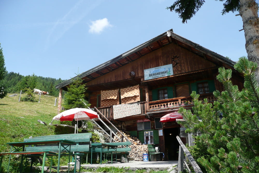
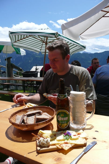
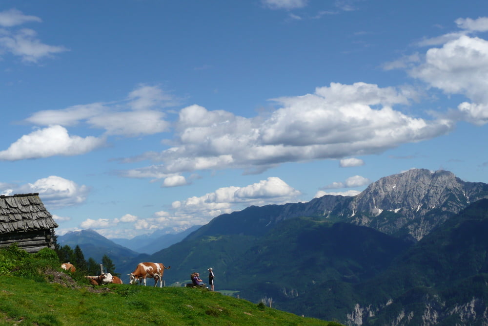
Diese Tour ist eine sehr schöne Rundwanderung im Gebiet der Leppner Alm oberhalb von Irschen. Diese Tour kann in beide Richtungen gut gegangen werden. Der Berggasthof oberhalb der Leppner Alm bzw. die Gribitsch Alm können ohne Weiteres für eine Rast empfohlen werden. Die Senner sind sehr gastfreundlich und der Käse sehr lecker :o)
Wir wünschen Euch viel Spaß beim wandern.
Further information at
http://www.irschen.com/Tour gallery
Tour map and elevation profile
Minimum height 1091 m
Maximum height 1638 m
More about the tour author
|
|
Captain |
Comments

Wir sind an der Smoley Hütte oberhalb von Irschen gestartet. Ich würde allerdings vorschlagen mit dem Auto bis zum Berggasthof oberhalb der Leppner Alm zu fahren und die Rundwanderung von dort aus zu starten.
GPS tracks
Trackpoints-
GPX / Garmin Map Source (gpx) download
-
TCX / Garmin Training Center® (tcx) download
-
CRS / Garmin Training Center® (crs) download
-
Google Earth (kml) download
-
G7ToWin (g7t) download
-
TTQV (trk) download
-
Overlay (ovl) download
-
Fugawi (txt) download
-
Kompass (DAV) Track (tk) download
-
Track data sheet (pdf) download
-
Original file of the author (gpx) download
More about the tour author
|
|
Captain |
Add to my favorites
Remove from my favorites
Edit tags
Open track
My score
Rate