


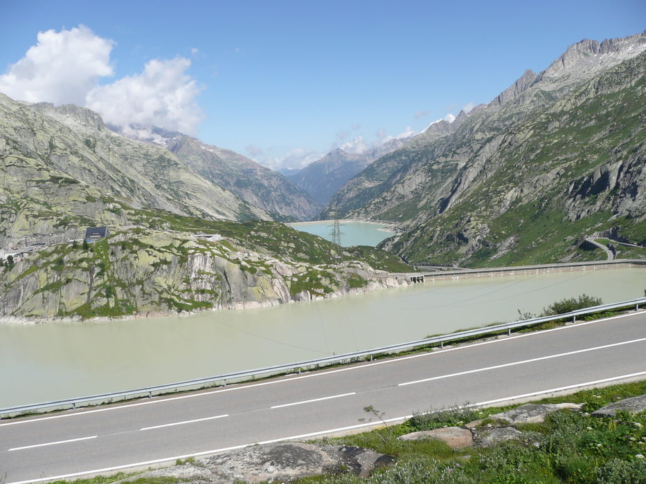
Alpenbrevet van 8 augustus 2009, start in Meiringen.
Vier zware beklimmingen Grimsel, Nufenen, Gotthard en Susten.
Tour gallery


Tour map and elevation profile
Minimum height 594 m
Maximum height 2473 m
More about the tour author

|
gogeko |
Comments

Start in Meiringen om richting Innerkirchen te rijden om daar te beginnen met de Grimsel, afdaling naar Gletsch om daarna richting Ulrichen te gaan voor de Nufenenpas.
Hierna afdaling naar Airolo om daarna aan de Gotthard te beginnen waarna de afdaling gaat richting Andermatt om vervolgens richting Wassen te rijden voor de laatste beklimming van de dag de Sustenpas om vanuit hier weer af te dalen naar Innertkirchen en terug te keren in Meiringen.
GPS tracks
Trackpoints-
GPX / Garmin Map Source (gpx) download
-
TCX / Garmin Training Center® (tcx) download
-
CRS / Garmin Training Center® (crs) download
-
Google Earth (kml) download
-
G7ToWin (g7t) download
-
TTQV (trk) download
-
Overlay (ovl) download
-
Fugawi (txt) download
-
Kompass (DAV) Track (tk) download
-
Track data sheet (pdf) download
-
Original file of the author (gpx) download
More about the tour author
|
|
gogeko |
Add to my favorites
Remove from my favorites
Edit tags
Open track
My score
Rate