Login

Forgot your login?

Cookies have to be accepted!
Your browser's cookie functionality is disabled. Please enable this functionality.

Not a member yet?

Register now
Login

Available for registred users only

Log in to use this feature.

Forgot your login?

Cookies have to be accepted!
Your browser's cookie functionality is disabled. Please enable this functionality.

Not a member yet?

Register now
Filter
Categories
Advanced filters
  • Distance (km)
  • Height
Save filters Reset filter

TrackRank

QRCode

Technical data

Distance101,2 km Height559 m Way down558 m Duration04:53 h:m Date17.08.2009
Scores Author Landscape Fun factor Fitness Technique

Statistics

588 Views Scores 58 Downloads Average
Rate
  • Track data sheet
  • Directions
  • Downloads

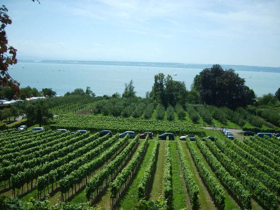
Bodensee-Runde ab Baindt, über Bavendorf nach Meersburg, Immenstaad, Friedrichshafen, Eriskirch ( rechts vom Strandbad ist ein kleiner Grillplatz direkt am See), Meckenbeuren, Oberzell, Baindt.


Nette Tour mit schöner Aussicht auf den Bodensee

Tour map and elevation profile

  • Open Street Map
  • Google
Minimum height 396 m Maximum height 515 m Detailed view

More about the tour author

Jobo21
Member since 2009

Send private message

Comments

GPS tracks

Trackpoints
  • GPX / Garmin Map Source (gpx) download
  • TCX / Garmin Training Center® (tcx) download
  • CRS / Garmin Training Center® (crs) download
  • Google Earth (kml) download
  • G7ToWin (g7t) download
  • TTQV (trk) download
  • Overlay (ovl) download
  • Fugawi (txt) download
  • Kompass (DAV) Track (tk) download
  • Track data sheet (pdf) download
  • Original file of the author (gpx) download

More about the tour author

Jobo21
Member since 2009

Send private message
Share track
Add to my favorites
Remove from my favorites
Edit tags
My score
Rate
Track: Bodensee-Runde ab Baindt (Ravensburg)
Type: Road biking
Distance: 101,2 km
Evaluated on:
Duration:
Day(s)
Hour(s)
Minute(s)
Score: Landscape Fun factor Fitness Technique