Login

Forgot your login?

Cookies have to be accepted!
Your browser's cookie functionality is disabled. Please enable this functionality.

Not a member yet?

Register now
Login

Available for registred users only

Log in to use this feature.

Forgot your login?

Cookies have to be accepted!
Your browser's cookie functionality is disabled. Please enable this functionality.

Not a member yet?

Register now
Filter
Categories
Advanced filters
  • Distance (km)
  • Height
Save filters Reset filter

TrackRank

QRCode

Technical data

Distance22,8 km Height884 m Way down866 m Duration06:30 h:m Date17.08.2009
Scores Author Landscape Fun factor Fitness Technique

Statistics

2987 Views 1 Score 172 Downloads 4.00 Average
Rate
  • Track data sheet
  • Directions
  • Downloads
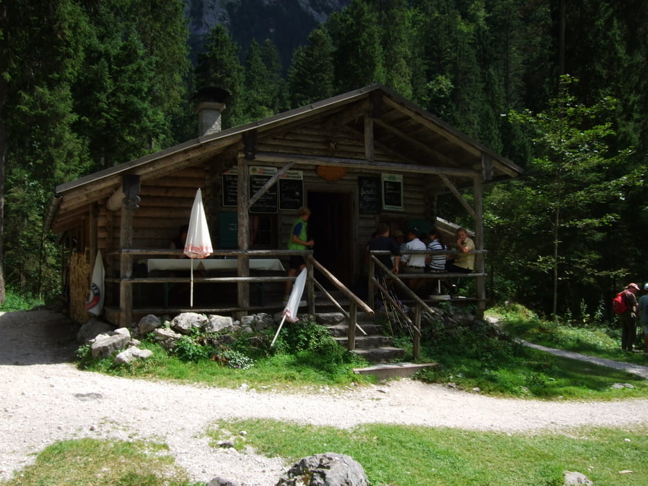
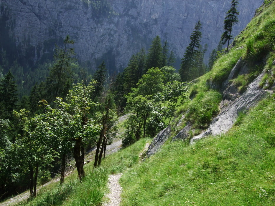
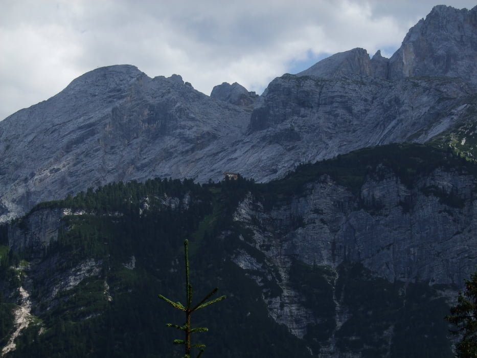
Vom Skistadion in Garmisch Partenkirchen durch die Partnachklamm und durch das Reintal zur Bockhütte. Auf dem Rückweg ein Stück den Bernadeinsteig hinauf, bevor wir zur Partnachalm abbiegen.

Further information at

http://www.flickr.com/photos/sabie01/sets/72157622082285536/

Tour gallery

Tour map and elevation profile

  • Open Street Map
  • Google
Minimum height 729 m Maximum height 1507 m Detailed view

More about the tour author

stephanb70
Member since 2009

Send private message

Comments

JoeTha on 09.07.2011

Almsteig

Leider war der Almsteig heute (09.07.2011) wegen Baumfällarbeiten gesperrt und so musste ich ca. zwei Kilometer Umweg über einen Forstweg in Kauf nehmen. Aber ansonsten war es eine tolle Tour! Dankeschön!

Jörg
Von München über A95 nach Garmisch Partenkirchen; großer Parkplatz am Skistadion.

GPS tracks

Trackpoints
  • GPX / Garmin Map Source (gpx) download
  • TCX / Garmin Training Center® (tcx) download
  • CRS / Garmin Training Center® (crs) download
  • Google Earth (kml) download
  • G7ToWin (g7t) download
  • TTQV (trk) download
  • Overlay (ovl) download
  • Fugawi (txt) download
  • Kompass (DAV) Track (tk) download
  • Track data sheet (pdf) download
  • Original file of the author (gpx) download

More about the tour author

stephanb70
Member since 2009

Send private message
Share track
Add to my favorites
Remove from my favorites
Edit tags
My score
Rate
Track: Bockhütte
Type: Hiking
Distance: 22,8 km
Evaluated on:
Duration:
Day(s)
Hour(s)
Minute(s)
Score: Landscape Fun factor Fitness Technique