Login

Forgot your login?

Cookies have to be accepted!
Your browser's cookie functionality is disabled. Please enable this functionality.

Not a member yet?

Register now
Login

Available for registred users only

Log in to use this feature.

Forgot your login?

Cookies have to be accepted!
Your browser's cookie functionality is disabled. Please enable this functionality.

Not a member yet?

Register now
Filter
Categories
Advanced filters
  • Distance (km)
  • Height
Save filters Reset filter

TrackRank

QRCode

Technical data

Distance43,8 km Height501 m Way down1140 m Duration03:30 h:m Date19.08.2009
Scores Author User Landscape Fun factor Fitness Technique

Statistics

3044 Views 1 Score 284 Downloads 5.00 Average
Rate
  • Track data sheet
  • Directions
  • Downloads
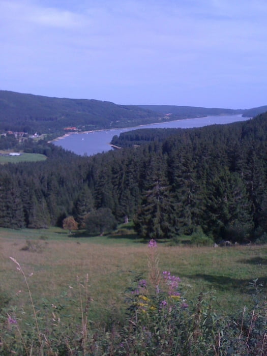
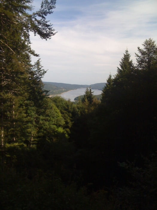
Die Tour beginnt am Ufer des Schluchsee´s (Steigung bis Caritas Haus) und führt an dem Caritas Haus vorbei. 
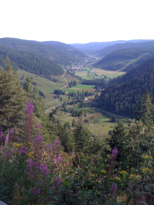
Jetzt geht´s abwärts und dann noch mal kurz aufwärt´s zum Rinken. Ab da dann bergab bis Freiburg.

Tour gallery

Tour map and elevation profile

  • Open Street Map
  • Google
Minimum height 289 m Maximum height 1231 m Detailed view

More about the tour author

kitom
Member since 2009

Send private message

Comments

GPS tracks

Trackpoints
  • GPX / Garmin Map Source (gpx) download
  • TCX / Garmin Training Center® (tcx) download
  • CRS / Garmin Training Center® (crs) download
  • Google Earth (kml) download
  • G7ToWin (g7t) download
  • TTQV (trk) download
  • Overlay (ovl) download
  • Fugawi (txt) download
  • Kompass (DAV) Track (tk) download
  • Track data sheet (pdf) download
  • Original file of the author (gpx) download

More about the tour author

kitom
Member since 2009

Send private message
Share track
Add to my favorites
Remove from my favorites
Edit tags
My score
Rate
Track: Schluchsee - Freiburg
Type: Mountain bike
Distance: 43,8 km
Evaluated on:
Duration:
Day(s)
Hour(s)
Minute(s)
Score: Landscape Fun factor Fitness Technique