


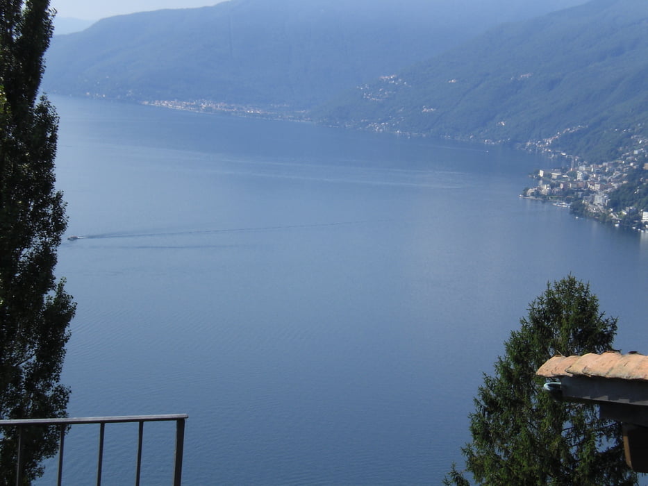
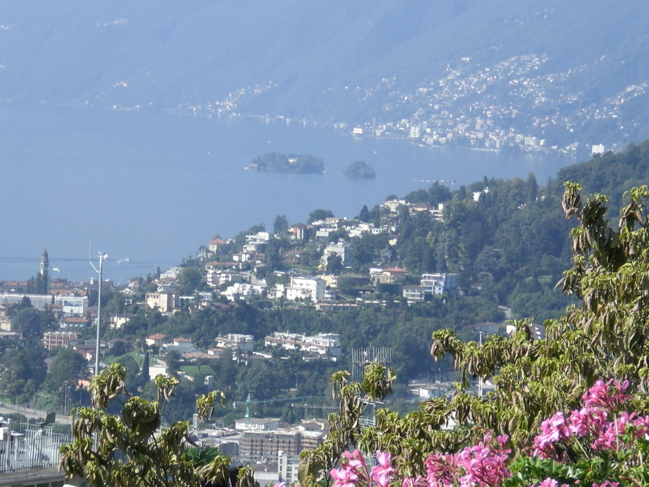
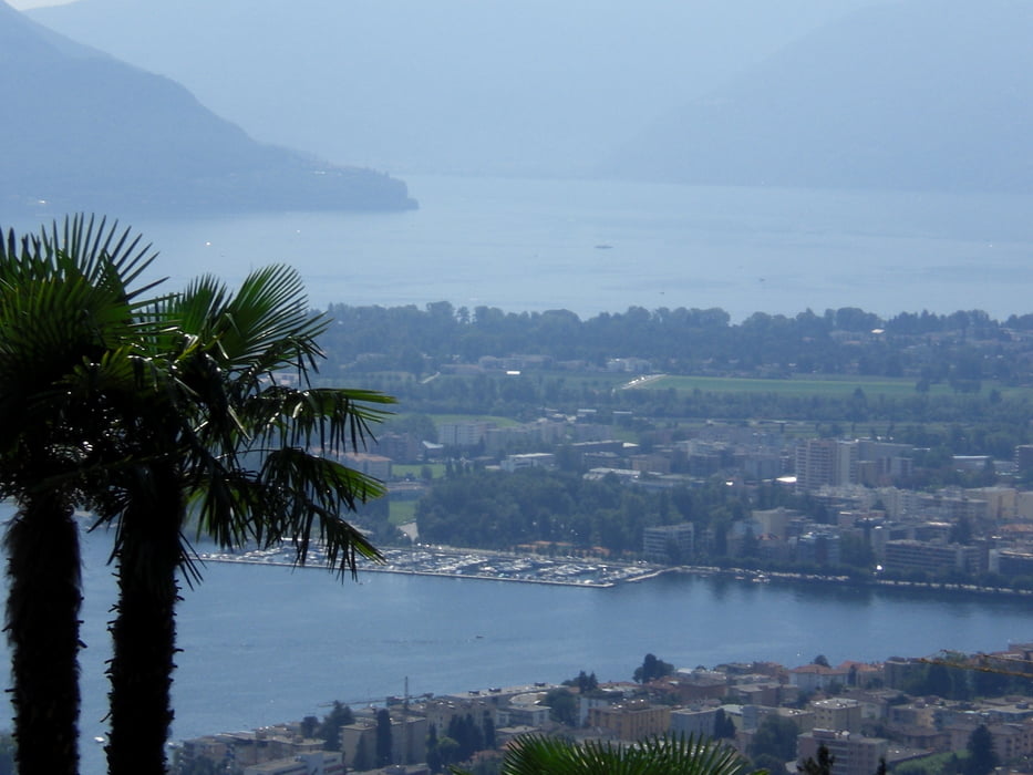
vom Campingplatz in Gordevio fahren wir auf dem Radwg Richtung Locarno. Vor PonteBrolla gehts auf einer Brücke über die Maggia nach Losone. Schöner Schotterweg immer an der Maggia entlang bis zu einer Brücke. Hier wechseln wir auf die Srasse nach Locarno und fahren in Richtung Gasthaus Tabor und dann zum Monte Bre. Von dort weiter auf Asphalt zur Alpe Cardada. Das letzte Stück zu Alpe ist eine schöner Singletrail, den wir mit Wanderern teilen müssen. Jetzt gehts auf einem ausgeschilderten Radweg (Singletrail) ins Val Reza hinunter. Leider endet er wieder auf einem Asphaltsträsschen nach Minusio hinunter. Von hier queren wir oberhlab des Lagos bis nach Locarno. Weil ich keine Lust hatte die Serpentinen nach Locarno hinunterzufahren habe ich einfach mal ein paar Stufen und einen Sentiero auspobiert. Die Stufen gingen prima zu fahren, der Sentiero leider nicht. War aber doch interessant, dass es so einen Weg mitten in Locarno gibt (ca. 15 min bergab schieben). Von hier gings dann wieder zurück zum Campingplatz.
Tour gallery
Tour map and elevation profile
Minimum height 220 m
Maximum height 1486 m
More about the tour author
|
|
Fruehaufsteher |
Comments

GPS tracks
Trackpoints-
GPX / Garmin Map Source (gpx) download
-
TCX / Garmin Training Center® (tcx) download
-
CRS / Garmin Training Center® (crs) download
-
Google Earth (kml) download
-
G7ToWin (g7t) download
-
TTQV (trk) download
-
Overlay (ovl) download
-
Fugawi (txt) download
-
Kompass (DAV) Track (tk) download
-
Track data sheet (pdf) download
-
Original file of the author (gpx) download
More about the tour author
|
|
Fruehaufsteher |
Add to my favorites
Remove from my favorites
Edit tags
Open track
My score
Rate