


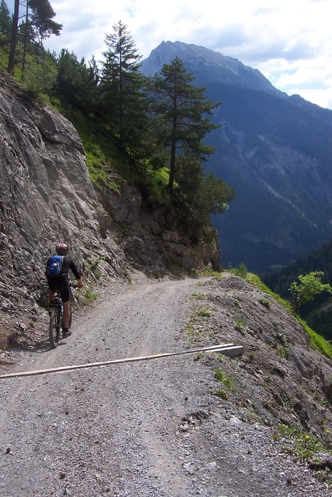
Anstrengende MTB-Runde mit einigen sehr steilen Anstiegen
Streckenverlauf:
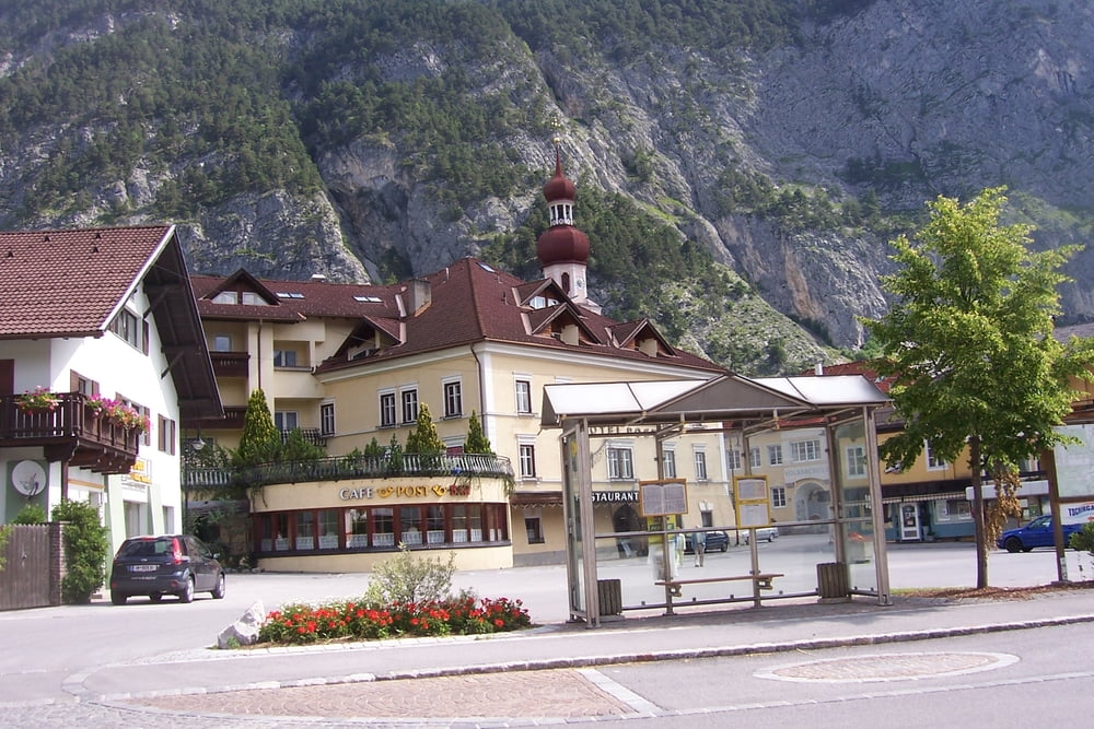
Parkplatz Ortsende Biberwier (1020m) - Auffahrt zum Marienbergjoch (1789m) (am Ende sehr steil) - Marienbergalm - Aschland (1115m) - Nassereith - Gurgeltal - Tarrenz (836m) - Obtarrenz - Sinnesbrunn (1520m) - Dristentrittkreuz (1840m) - Schweinsteigjoch (1564m) - Tegestal (sehr steile Abfahrt) - Fernsteinschloss (970m) - Römerweg (Via Claudia Augusta) - Weißensee - Biberwier
Tour gallery
Tour map and elevation profile
Minimum height 777 m
Maximum height 1856 m
More about the tour author
|
|
Staudenbiker |
Comments
GPS tracks
Trackpoints-
GPX / Garmin Map Source (gpx) download
-
TCX / Garmin Training Center® (tcx) download
-
CRS / Garmin Training Center® (crs) download
-
Google Earth (kml) download
-
G7ToWin (g7t) download
-
TTQV (trk) download
-
Overlay (ovl) download
-
Fugawi (txt) download
-
Kompass (DAV) Track (tk) download
-
Track data sheet (pdf) download
-
Original file of the author (gpx) download
More about the tour author
|
|
Staudenbiker |
Add to my favorites
Remove from my favorites
Edit tags
Open track
My score
Rate
Berichtigung
du hast Recht es ist eine tolle Tour, vor allem landschaftlich.... aber n u r wenn du diese Tour auch von der richtigen Seite gefahren wärst. Wenn jemand drauf steht, dass er die Abfahrt hinauf und eine Schotterautobahn hinunterfährt dann ist diese Tour richtig zu empfehlen - ich hoffe allerdings dass dies nicht die Mehrzahl der Biker ist
Also wenn ihr die Tour fährt, dann in die gegenläufige Richtung!!!!