


Streckenverlauf:
- Start am Parkplatz der Wankbahn (730m)
- Zunächst auf schmaler Teerstraße - zwischendurch sehr steil - dann auf Schotter zur Esterbergalm (1265m)
- Abfahrt zur Finzalm weiter an der Finzbachklamm entlang nach Krün (875m)
- Links der Isar entlang nach Mittenwald (913m)
- Auffahrt zum Hohen Kranzberg (1391m)
- Abfahrt nach Elmau (1003m)
- Kleiner Aufschwung bevor teilweise sehr steil nach Wamberg (926m) hinunter geht.
- Teer- und Schotterwege wechseln sich letzten Km zum Wankbahn-Parkplatz ab.
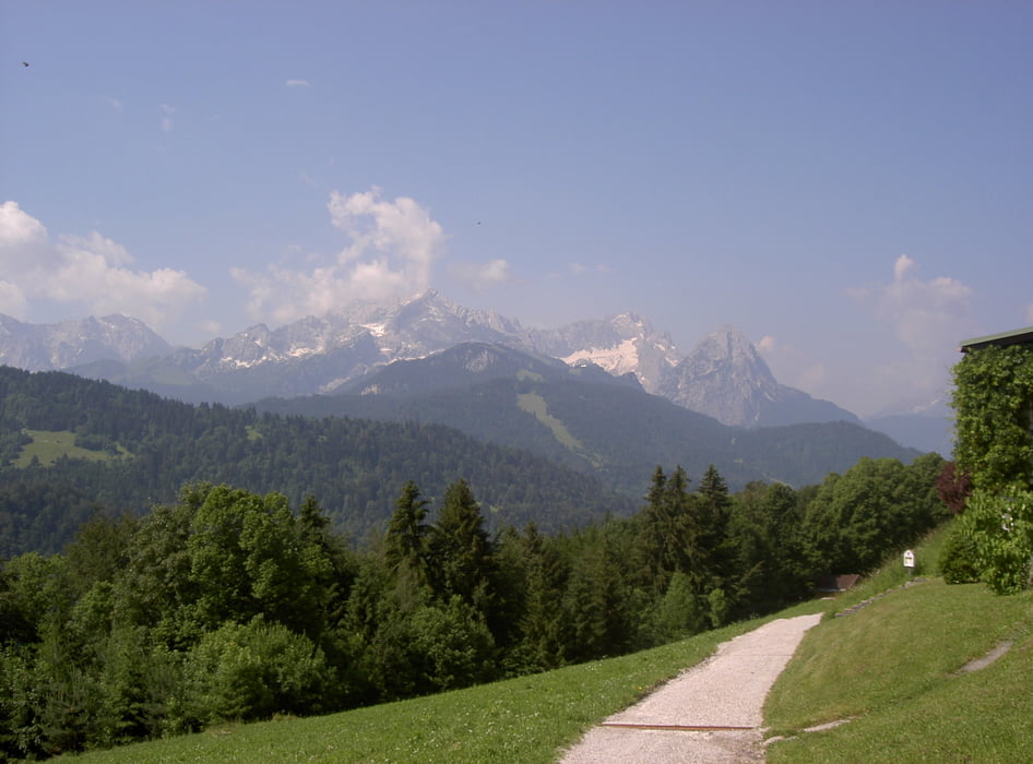
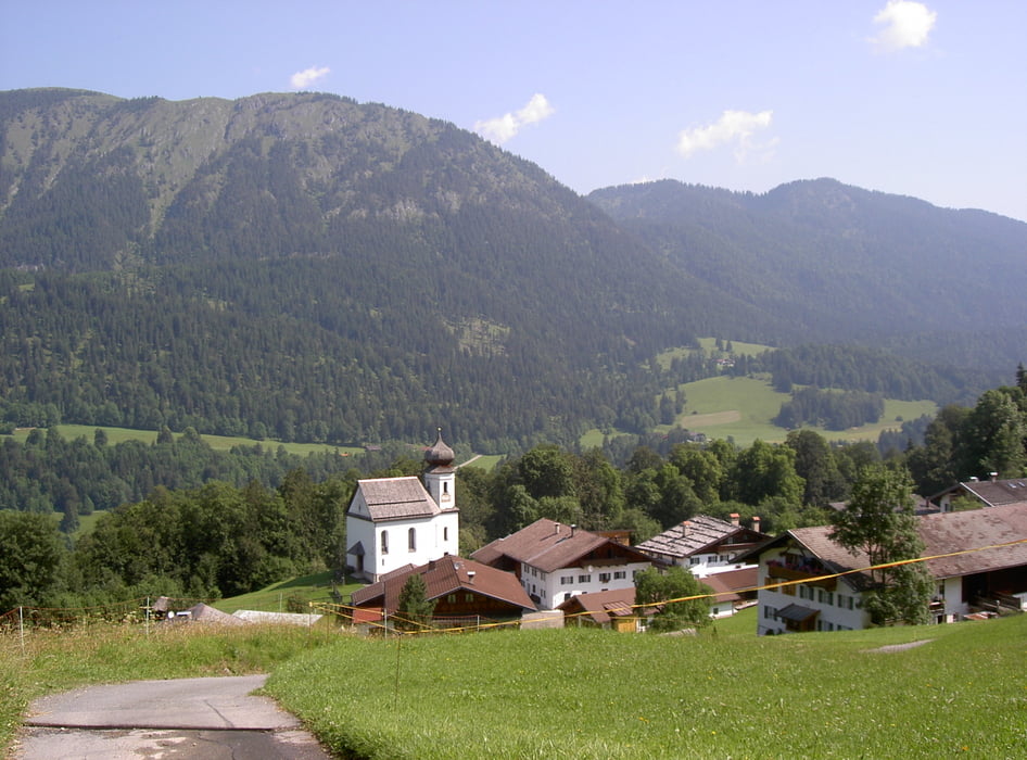
Tour gallery


Tour map and elevation profile
Minimum height 703 m
Maximum height 1370 m
More about the tour author
|
|
Staudenbiker |
Comments

GPS tracks
Trackpoints-
GPX / Garmin Map Source (gpx) download
-
TCX / Garmin Training Center® (tcx) download
-
CRS / Garmin Training Center® (crs) download
-
Google Earth (kml) download
-
G7ToWin (g7t) download
-
TTQV (trk) download
-
Overlay (ovl) download
-
Fugawi (txt) download
-
Kompass (DAV) Track (tk) download
-
Track data sheet (pdf) download
-
Original file of the author (gpx) download
More about the tour author
|
|
Staudenbiker |
Add to my favorites
Remove from my favorites
Edit tags
Open track
My score
Rate