

Questo giro è solo per amanti della fatica, in complesso si porta/spinge la bici ca. 600mt.
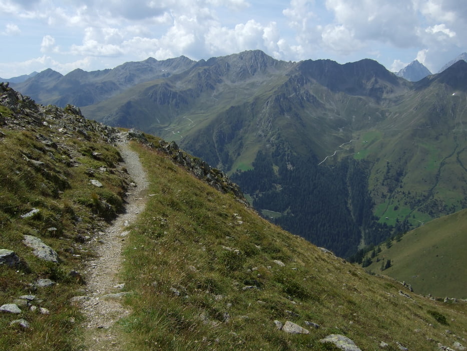
Partendo da S. Maddalena si sale comodamente su strada fino la malga Oberberg 1950mt, dopo spinge fino La forcella di Casies 2200mt, adesso ci sono 10 min di brutta discesa fino il cartello che indica il bellissimo sentiero (ST) che porta alla malga Blindisalm 1896mt (aperta), da li si scende sempre su un bellissimo single track (Jaegersteig) fino il paese Mariahilf 1420mt.
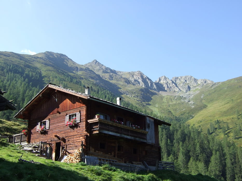
Poi si prende la strada Forestale che ci porta fino a 2050m senza problemi, ( ottimo ristoro alla Malga Stalle Alm!!), da quota 2050 si deve portare la mtb in spalla fino il passo Pfoischarte 2617, 550mt di dislivello!!! (un ora se si è in forma).
A questo punto sono risalito anche la cima Hochkreuz 2739 mt da dovo si ha un Panorama spettacolare sul Collalto, Grossvenediger, Grossglockner ecc.
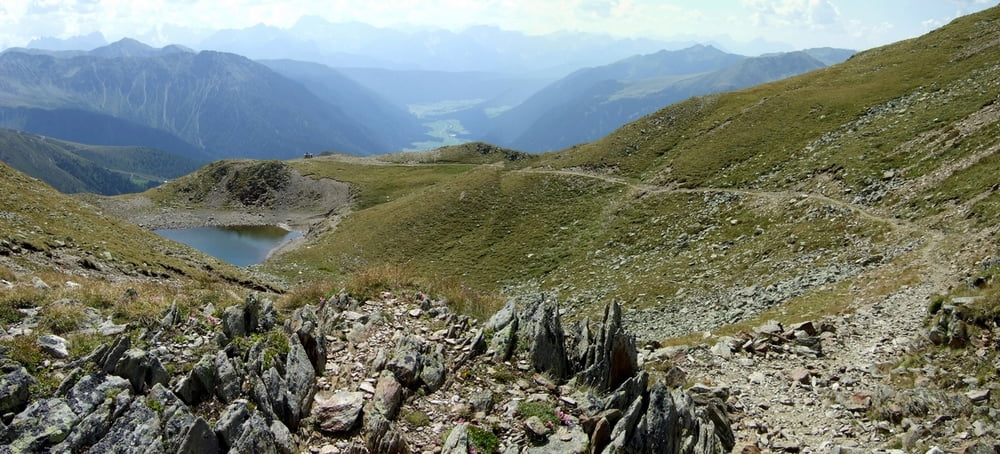
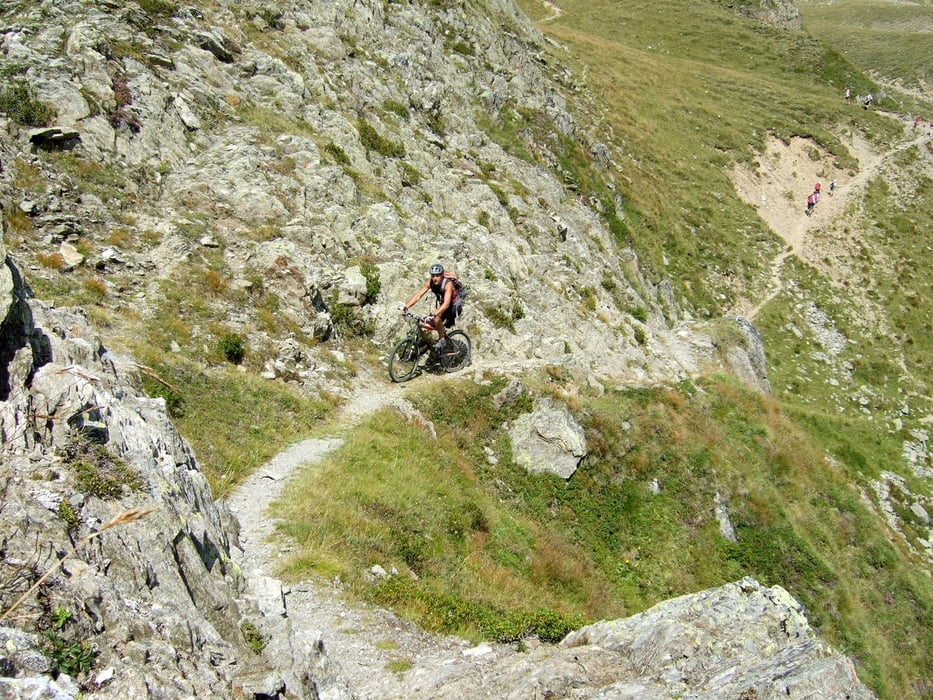
La discesa sul bellissimo sentiero nr.12 ,fino la Malga Uwald Alm 2042mt è veramente bello, sia per il difficile single track ma anche per il panorama che si ha davanti!
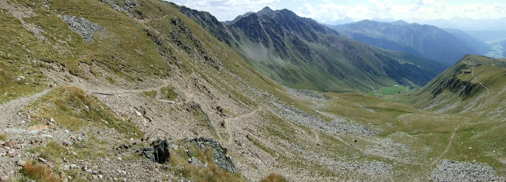
Dopo una bella Birra ho preso il bellissimo sentiero Weg 2000 che mi porta fino la malga Stumpfalm 1968mt (con 100mt di bici in spalla).
Discesa sul sentiero senza nome (chiamiamolo Wolkastol) che parte proprio sotto la malga, che esce praticamente al parcheggio, Single track bellissimo!
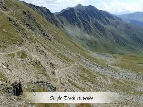
Tour gallery
Tour map and elevation profile
Minimum height 1461 m
Maximum height 2735 m
More about the tour author

|
Silvia_Arno |
Comments

partenza da S.Maddalena nella valle di Casies
GPS tracks
Trackpoints-
GPX / Garmin Map Source (gpx) download
-
TCX / Garmin Training Center® (tcx) download
-
CRS / Garmin Training Center® (crs) download
-
Google Earth (kml) download
-
G7ToWin (g7t) download
-
TTQV (trk) download
-
Overlay (ovl) download
-
Fugawi (txt) download
-
Kompass (DAV) Track (tk) download
-
Track data sheet (pdf) download
-
Original file of the author (gpx) download
More about the tour author
|
|
Silvia_Arno |
Add to my favorites
Remove from my favorites
Edit tags
Open track
My score
Rate