Login

Forgot your login?

Cookies have to be accepted!
Your browser's cookie functionality is disabled. Please enable this functionality.

Not a member yet?

Register now
Login

Available for registred users only

Log in to use this feature.

Forgot your login?

Cookies have to be accepted!
Your browser's cookie functionality is disabled. Please enable this functionality.

Not a member yet?

Register now
Filter
Categories
Advanced filters
  • Distance (km)
  • Height
Save filters Reset filter

TrackRank

QRCode

Technical data

Distance78,2 km Height1970 m Way down1959 m Duration05:30 h:m Date22.08.2009
Scores Author Landscape Fun factor Fitness Technique

Statistics

1693 Views Scores 241 Downloads Average
Rate
  • Track data sheet
  • Directions
  • Downloads

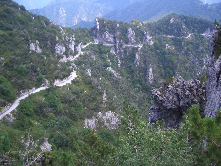
Tour vonTobole über Riva die Ponalstraße hoch nach Pregasina. Von dort gehts steil bergauf

bis Passo Nota, hier kann man gut und günstig Essen bevor es zum letzen Anstieg auf

den Tremalzo geht. Abfahrt über die Teerstraße zum Biotopo und Ledrosee zurück.

Tour gallery

Tour map and elevation profile

  • Open Street Map
  • Google
Minimum height 66 m Maximum height 1824 m Detailed view

More about the tour author

Tom007
Member since 2009

Send private message

Comments

GPS tracks

Trackpoints
  • GPX / Garmin Map Source (gpx) download
  • TCX / Garmin Training Center® (tcx) download
  • CRS / Garmin Training Center® (crs) download
  • Google Earth (kml) download
  • G7ToWin (g7t) download
  • TTQV (trk) download
  • Overlay (ovl) download
  • Fugawi (txt) download
  • Kompass (DAV) Track (tk) download
  • Track data sheet (pdf) download
  • Original file of the author (gpx) download

More about the tour author

Tom007
Member since 2009

Send private message
Share track
Add to my favorites
Remove from my favorites
Edit tags
My score
Rate
Track: Torbole-Tremalzo-Ledrosee
Type: Mountain bike
Distance: 78,2 km
Evaluated on:
Duration:
Day(s)
Hour(s)
Minute(s)
Score: Landscape Fun factor Fitness Technique