Login

Forgot your login?

Cookies have to be accepted!
Your browser's cookie functionality is disabled. Please enable this functionality.

Not a member yet?

Register now
Login

Available for registred users only

Log in to use this feature.

Forgot your login?

Cookies have to be accepted!
Your browser's cookie functionality is disabled. Please enable this functionality.

Not a member yet?

Register now
Filter
Categories
Advanced filters
  • Distance (km)
  • Height
Save filters Reset filter

TrackRank

QRCode

Technical data

Distance27,5 km Height353 m Way down352 m Duration01:55 h:m Date22.08.2009
Scores Author Landscape Fun factor Fitness Technique

Statistics

814 Views 1 Score 178 Downloads 3.00 Average
Rate
  • Track data sheet
  • Directions
  • Downloads
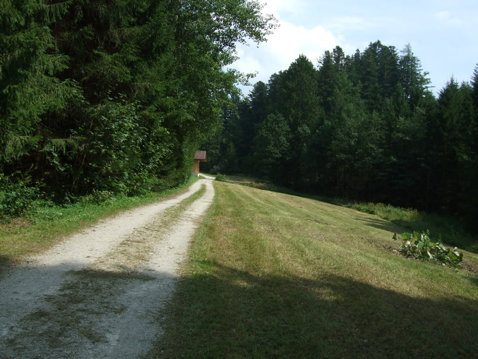
gemütliche Feierabendrunde mit einem kurzen, knackigen Anstieg, ansonsten aber sehr moderat. Eignet sich vorzüglich um an einem "Ruhetag" die Seele mal baumeln zu lassen.

Tour gallery

Tour map and elevation profile

  • Open Street Map
  • Google
Minimum height 602 m Maximum height 871 m Detailed view

More about the tour author

heikes
Member since 2009

Send private message

Comments

A8 München/Salzburg, Abfahrt Richtung Ruhpolding. Gestartet wird in Lohen, da dort auch unsere Unterkunft liegt.

www.zeranka.com


GPS tracks

Trackpoints
  • GPX / Garmin Map Source (gpx) download
  • TCX / Garmin Training Center® (tcx) download
  • CRS / Garmin Training Center® (crs) download
  • Google Earth (kml) download
  • G7ToWin (g7t) download
  • TTQV (trk) download
  • Overlay (ovl) download
  • Fugawi (txt) download
  • Kompass (DAV) Track (tk) download
  • Track data sheet (pdf) download
  • Original file of the author (gpx) download

More about the tour author

heikes
Member since 2009

Send private message
Share track
Add to my favorites
Remove from my favorites
Edit tags
My score
Rate
Track: Rund um den Zinnkopf
Type: Mountain bike
Distance: 27,5 km
Evaluated on:
Duration:
Day(s)
Hour(s)
Minute(s)
Score: Landscape Fun factor Fitness Technique