


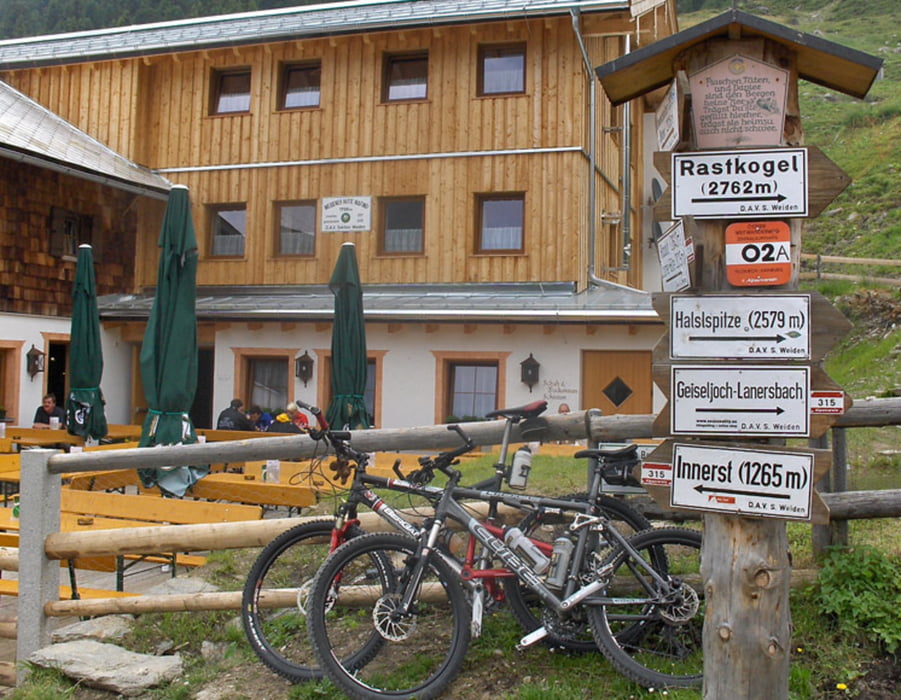
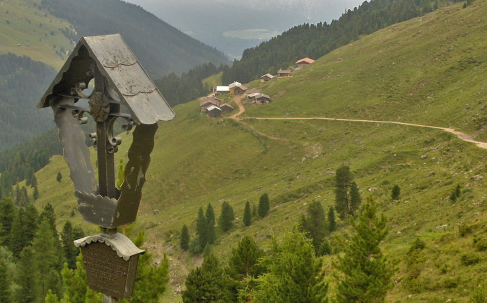
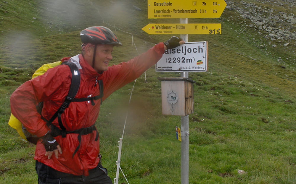
Die erste Etappe unseres 2009er Alpencross führt vom PILL im Inntal über die WEIDENER HÜTTE und das GEISELJOCH nach LANERSBACH.
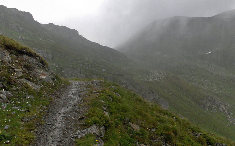
Eine Standartroute, zuerst lange auf Asphalt, dann Forststraße, ab der Weidener Hütte wird der Weg ein wenig steiniger, die letzten 100 hm vor dem Geiseljoch eine ausgewiesene MTB-Schiebestrecke, die von Könnern aber auch gefahren werden kann.
Runterzu waren wir auf dem Fahrweg unterwegs, nicht auf dem Singletrail.
Auf meiner Internetseite gibts einen kurzen Tourbericht und viele Fotos...
Der link dazu steht weiter unten, viel Spass...
Further information at
http://www.alpenx-xl.de/2009/09ax01/09ax01.phpTour gallery
Tour map and elevation profile
Minimum height 551 m
Maximum height 2288 m
More about the tour author
|
|
AlpenX-XL.de |
Comments

GPS tracks
Trackpoints-
GPX / Garmin Map Source (gpx) download
-
TCX / Garmin Training Center® (tcx) download
-
CRS / Garmin Training Center® (crs) download
-
Google Earth (kml) download
-
G7ToWin (g7t) download
-
TTQV (trk) download
-
Overlay (ovl) download
-
Fugawi (txt) download
-
Kompass (DAV) Track (tk) download
-
Track data sheet (pdf) download
-
Original file of the author (gpx) download
More about the tour author
|
|
AlpenX-XL.de |
Add to my favorites
Remove from my favorites
Edit tags
Open track
My score
Rate