


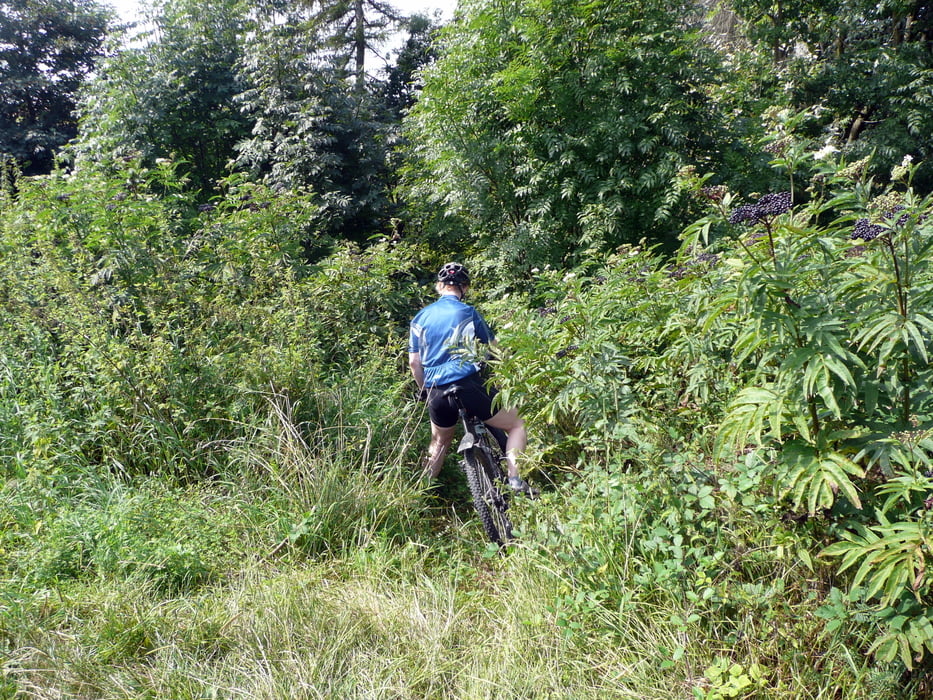
Schöne Trainingsrunde um Weissenburg in Bayern.
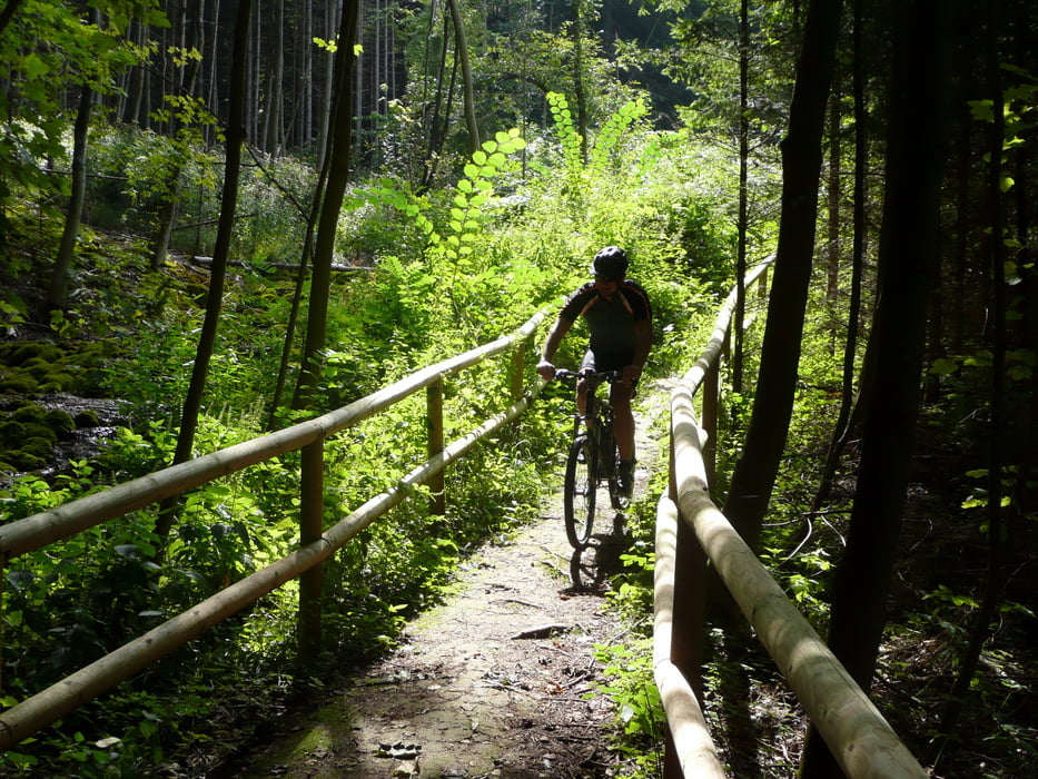
Überwiegend auf Wald- und Forstwegen, vereinzelt Trailabschnitte.
Wenige kurze asphaltierte Strassenabschnitte.
Das Highlight der Tour ist die Steinerne Rinne bei Rohrbach.
Hier gräbt sich ein Bach nicht etwa durch erosion sein Bett im Boden, sondern durch Ablagerung von Kalk baut er sein Bett aus Tuff immer höher auf! Unbedingt sehenswert.
Der Weg dorthin verläuft im Auf und Ab entlang der Jurakante nicht gerade auf direktem, aber landschaftliche reizvollem Weg.
Further information at
http://www.weissenburg.deTour gallery


Tour map and elevation profile
Minimum height 419 m
Maximum height 614 m
More about the tour author

|
harp |
Comments

Weissenburg in Bay. über B2 oder B13 gut zu erreichen.
Richtung Zentrum. Parken am kostenlosen Parkplatz an der Seeweihermauer (Schulzentrum, Hallenbad, Mogetissatherme.
GPS tracks
Trackpoints-
GPX / Garmin Map Source (gpx) download
-
TCX / Garmin Training Center® (tcx) download
-
CRS / Garmin Training Center® (crs) download
-
Google Earth (kml) download
-
G7ToWin (g7t) download
-
TTQV (trk) download
-
Overlay (ovl) download
-
Fugawi (txt) download
-
Kompass (DAV) Track (tk) download
-
Track data sheet (pdf) download
-
Original file of the author (gpx) download
More about the tour author
|
|
harp |
Add to my favorites
Remove from my favorites
Edit tags
Open track
My score
Rate