Login

Forgot your login?

Cookies have to be accepted!
Your browser's cookie functionality is disabled. Please enable this functionality.

Not a member yet?

Register now
Login

Available for registred users only

Log in to use this feature.

Forgot your login?

Cookies have to be accepted!
Your browser's cookie functionality is disabled. Please enable this functionality.

Not a member yet?

Register now
Filter
Categories
Advanced filters
  • Distance (km)
  • Height
Save filters Reset filter

TrackRank

QRCode

Technical data

Distance65,8 km Height1424 m Way down1436 m Duration06:30 h:m Date23.08.2009
Scores Author Landscape Fun factor Fitness Technique

Statistics

2356 Views Scores 307 Downloads Average
Rate
  • Track data sheet
  • Directions
  • Downloads

meine letzte etappe des jurasteigs

landschaftlich der wohl schönste teil

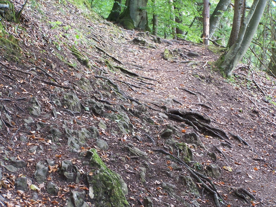
nicht zu unterschätzende tour,nur der anfang ist optimal zum einrollen

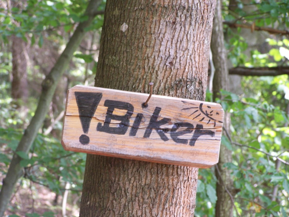
viel trailanteil,auch schiebe und trageanteile.

das letzte stück von weltenburg bis kelheim sollte man am besten nicht am sonntag nachmittag angehen,da gibts wirklich viele wanderer,ansonsten ist man meist alleine unterwegs.


Tour gallery

Tour map and elevation profile

  • Open Street Map
  • Google
Minimum height 304 m Maximum height 538 m Detailed view

More about the tour author

tomasi
Member since 2008

Send private message

Comments

holnstein bei berching

parkplatz mitten im ort

GPS tracks

Trackpoints
  • GPX / Garmin Map Source (gpx) download
  • TCX / Garmin Training Center® (tcx) download
  • CRS / Garmin Training Center® (crs) download
  • Google Earth (kml) download
  • G7ToWin (g7t) download
  • TTQV (trk) download
  • Overlay (ovl) download
  • Fugawi (txt) download
  • Kompass (DAV) Track (tk) download
  • Track data sheet (pdf) download
  • Original file of the author (gpx) download

More about the tour author

tomasi
Member since 2008

Send private message
Share track
Add to my favorites
Remove from my favorites
Edit tags
My score
Rate
Track: jurasteig teil 4 holnstein bis kelheim (ziel)
Type: Mountain bike
Distance: 65,8 km
Evaluated on:
Duration:
Day(s)
Hour(s)
Minute(s)
Score: Landscape Fun factor Fitness Technique