Login

Forgot your login?

Cookies have to be accepted!
Your browser's cookie functionality is disabled. Please enable this functionality.

Not a member yet?

Register now
Login

Available for registred users only

Log in to use this feature.

Forgot your login?

Cookies have to be accepted!
Your browser's cookie functionality is disabled. Please enable this functionality.

Not a member yet?

Register now
Filter
Categories
Advanced filters
  • Distance (km)
  • Height
Save filters Reset filter

TrackRank

QRCode

Technical data

Distance38,2 km Height974 m Way down974 m Duration04:30 h:m Date25.08.2009
Scores Author User Landscape Fun factor Fitness Technique

Statistics

591 Views 1 Score 85 Downloads 4.00 Average
Rate
  • Track data sheet
  • Directions
  • Downloads

Die Höhenmeter sind von meinem Forerunner 305 und stimmen nicht 100% tig.

Die Tour geht aber teilweise ganz schön steil :-)
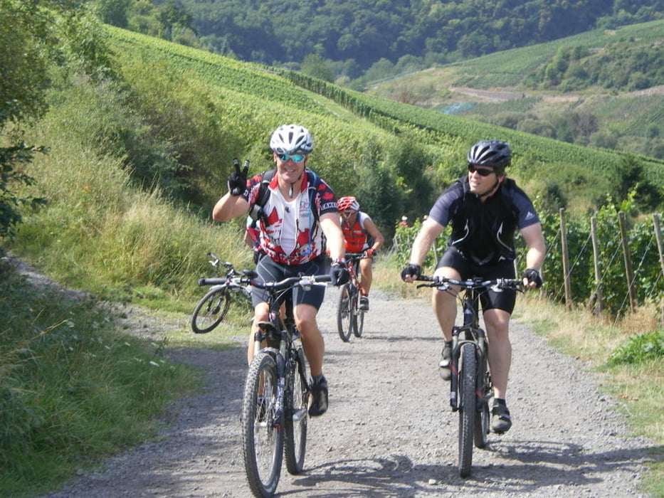
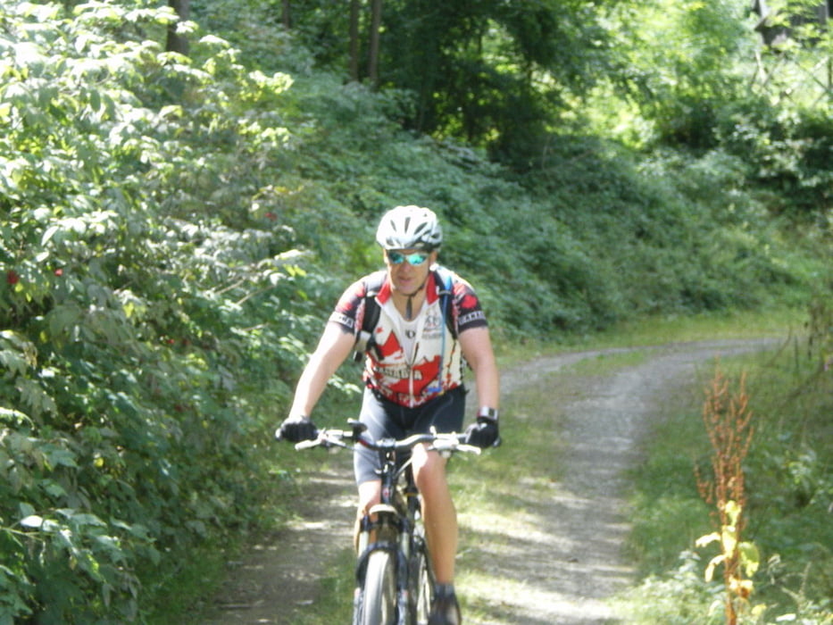
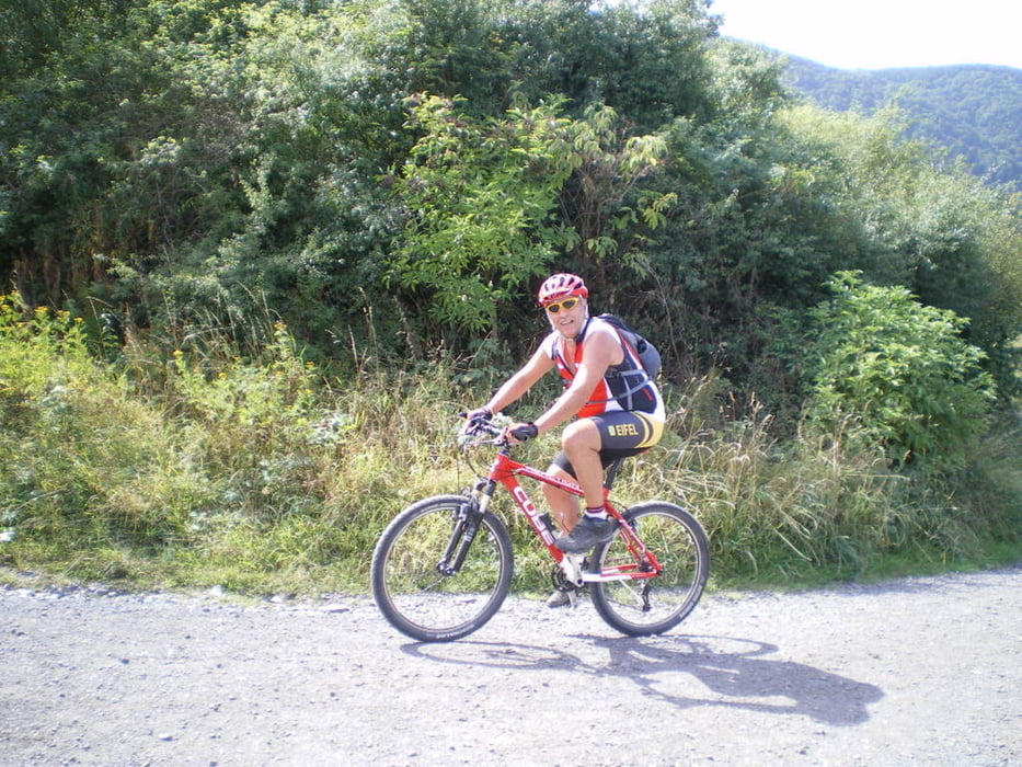
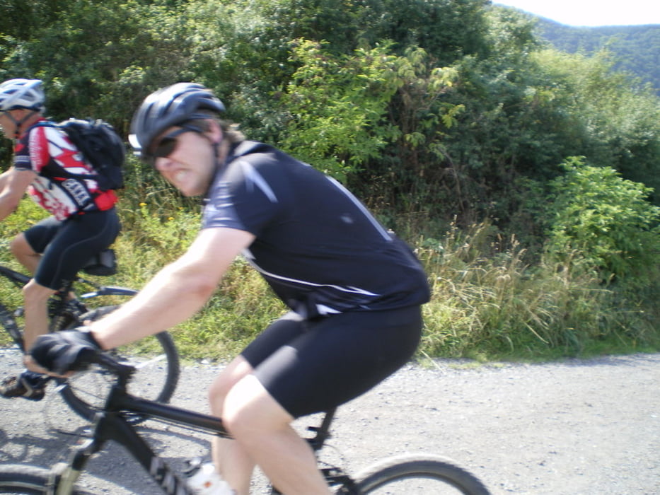
Tour gallery

Tour map and elevation profile

  • Open Street Map
  • Google
Minimum height 95 m Maximum height 529 m Detailed view

More about the tour author

phboi07
Member since 2009

Send private message

Comments

50931 on 03.07.2011

Tolle Tour

Die Runde hat wirklich viel Spaß gemacht. Und stimmt, teilweise ist es sehr steil. Aber vom Einrollen durch's Ahrtal bis hin zur letzten Abfahrt ist es eine tolle Tour durch eine schöne einsame Landschaft.
Danke für's Einstellen.

GPS tracks

Trackpoints
  • GPX / Garmin Map Source (gpx) download
  • TCX / Garmin Training Center® (tcx) download
  • CRS / Garmin Training Center® (crs) download
  • Google Earth (kml) download
  • G7ToWin (g7t) download
  • TTQV (trk) download
  • Overlay (ovl) download
  • Fugawi (txt) download
  • Kompass (DAV) Track (tk) download
  • Track data sheet (pdf) download
  • Original file of the author (gpx) download

More about the tour author

phboi07
Member since 2009

Send private message
Share track
Add to my favorites
Remove from my favorites
Edit tags
My score
Rate
Track: Winnis 50 Geburtstag MTB Schnitzeljagd
Type: Mountain bike
Distance: 38,2 km
Evaluated on:
Duration:
Day(s)
Hour(s)
Minute(s)
Score: Landscape Fun factor Fitness Technique