


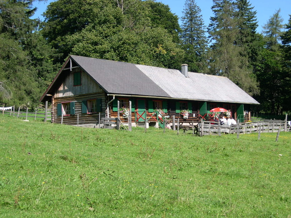
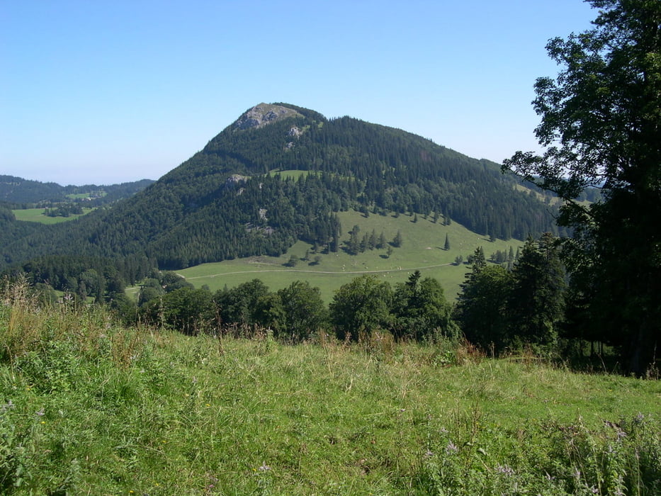
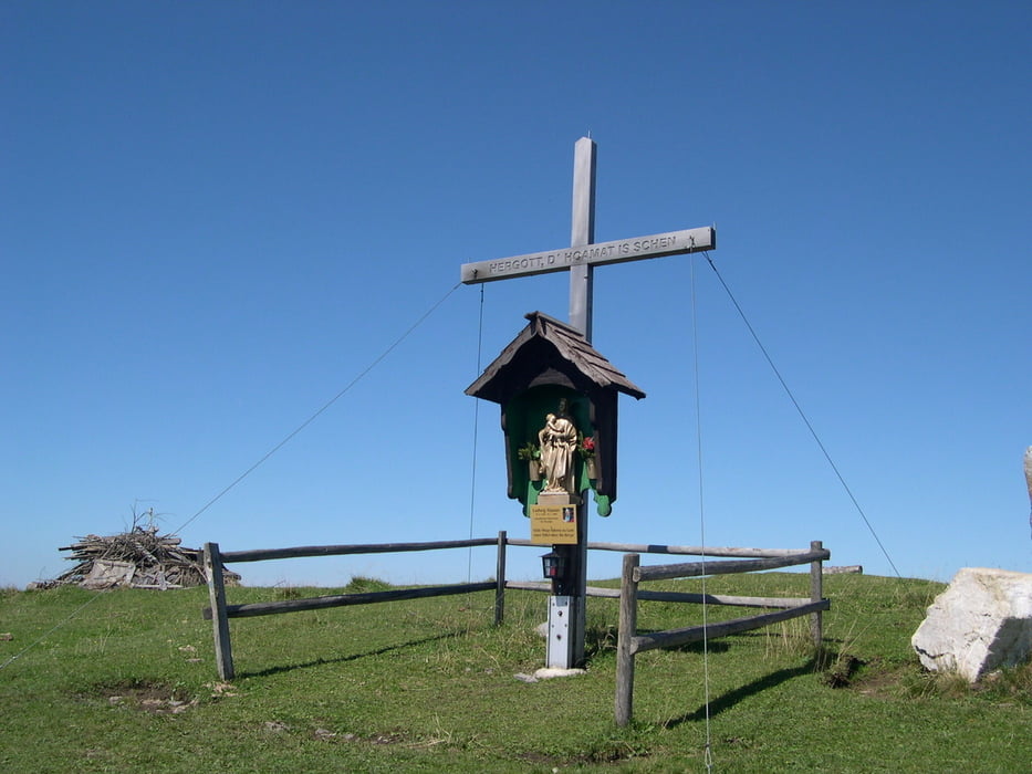
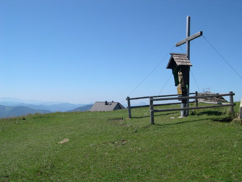
Start Ebenwaldhöhe Parkplatz..Auf roter Markierung unterhalb des Hochstaff herum bis zur Kleinzeller Hinteralm.Variante:Bei Drehkreuz links (unmarkiert ) auf und über den Hochstaff bis zur Kleinzeller Hinteralm.Sehr lohnend ,aber ziemlich beschwerlich! Ab Kleinzeller Hinteralm(alte Sennerin besuchen!!!)auf blauer Markierung bis zum Gipfel der Reisalpe und zum Reisalpenhaus-wer diesen Rundblick noch nicht erlebt hat ,hat in seinen Bergwanderleben etwas versäumt!!.Abstieg wie Aufstieg!
Tour gallery
Tour map and elevation profile
Minimum height 989 m
Maximum height 1404 m
More about the tour author
|
|
LeoCheops |
Comments

GPS tracks
Trackpoints-
GPX / Garmin Map Source (gpx) download
-
TCX / Garmin Training Center® (tcx) download
-
CRS / Garmin Training Center® (crs) download
-
Google Earth (kml) download
-
G7ToWin (g7t) download
-
TTQV (trk) download
-
Overlay (ovl) download
-
Fugawi (txt) download
-
Kompass (DAV) Track (tk) download
-
Track data sheet (pdf) download
-
Original file of the author (gpx) download
More about the tour author
|
|
LeoCheops |
Add to my favorites
Remove from my favorites
Edit tags
Open track
My score
Rate