


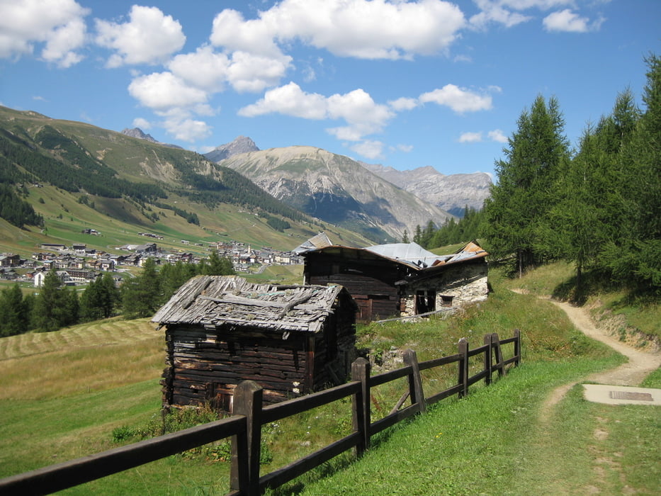
Ein Highlight reiht sich ans nächste: Flüelapass, die urigen Bergdörfer Spina und Monstein, fahrt durch die Zügenschlucht und über das Wiesener Viadukt, Albulapass, Berninapass, Abstecher auf die Trails von Livigno und durch den Tunnel zurück in den Schweizer Nationalpark und ins Engadin.
--> Viele Kombinationen möglich
--> Trotz hohem Teeranteil kommt auch der Spass- und Trailfaktor nicht zu kurz
--> Möglichkeit den Berninapass auf Feldweg zu fahren besteht, ich habe es nur zu spät gemerkt
--> Übernachtung in Preda würde ich anraten
--> Eigentlich permanent die Möglichkeit ,die Rhätische Bahn zur Hilfe zu nehmen (bis zum Berninapass)
Tour gallery

Tour map and elevation profile
Minimum height 1008 m
Maximum height 2405 m
More about the tour author

|
Joma77 |
Comments

Durchs Engadin oder über den Flüelapass nach Susch (Start und Zielpunkt)
GPS tracks
Trackpoints-
GPX / Garmin Map Source (gpx) download
-
TCX / Garmin Training Center® (tcx) download
-
CRS / Garmin Training Center® (crs) download
-
Google Earth (kml) download
-
G7ToWin (g7t) download
-
TTQV (trk) download
-
Overlay (ovl) download
-
Fugawi (txt) download
-
Kompass (DAV) Track (tk) download
-
Track data sheet (pdf) download
-
Original file of the author (gpx) download
More about the tour author
|
|
Joma77 |
Add to my favorites
Remove from my favorites
Edit tags
Open track
My score
Rate