


Durchfahrbare Tour mit interessante Höheprofil
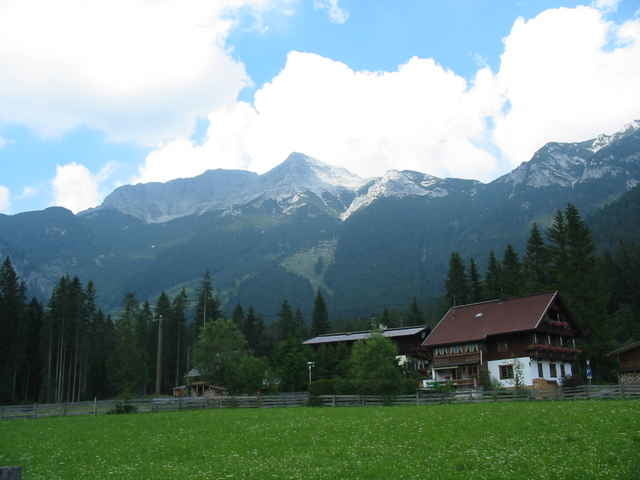
Tour gallery
Tour map and elevation profile
Minimum height 702 m
Maximum height 1444 m
More about the tour author

|
Die Piccis |
Comments
B 13 von München über Bad Tölz zum Sylvensteinsee.
Dann Links Richtung Achensee, Tegersee auf die B 307. Bei Kaiserwacht rechts Richtung Achensee, Innsbruck abzweigen und bis Achenkirch fahren.
Am erst Abzweig Achenkirch geradeaus Richtung Innsbrück auf der Bundesstrasse bleiben und dann links Richtung Steinberg abzweigen.
Nach ca. 3 bis 4 Km nach dem Abzweig liegt am linken Strassenrand ein größerer parkplatz mit einem schild "Ludwig-Aschenbrenner/Guffert Hütte"
GPS tracks
Trackpoints-
GPX / Garmin Map Source (gpx) download
-
TCX / Garmin Training Center® (tcx) download
-
CRS / Garmin Training Center® (crs) download
-
Google Earth (kml) download
-
G7ToWin (g7t) download
-
TTQV (trk) download
-
Overlay (ovl) download
-
Fugawi (txt) download
-
Kompass (DAV) Track (tk) download
-
Track data sheet (pdf) download
-
Original file of the author (gpx) download
More about the tour author
|
|
Die Piccis |
Add to my favorites
Remove from my favorites
Edit tags
Open track
My score
Rate
Guffertrunde
Wunderschöne Tour, nur zu empfehlen, alles bestens fahrbar.