


Von der Asitzbahn bzw. Hotel Forsthofgut in Leogang folgt man dem Radweg nach Saalfelden und weiter vorbei am Golfplatz Urslautal nach Maria Alm. Nach einer Besichtigung des netten Ortes und einer Möglichkeit für eine Stärkung geht es dann endgültig bergauf. Hier beginnt dann die eigentliche MB-Tour. Sie ist landschaftlich sehr schön geführt und fordert auf wenigen km auch etwas Einsatzbereitschaft und Kondition obwohl durchwegs Forstwege zur Verfügung stehen, die fahrtechnisch kein großes Können abverlangen.
Nach einer Abfahrt über Forststraßen erreicht man wieder Saalfelden und es geht auf dem Radweg wieder retour nach Leogang.
Der Einstieg in die Tour ist natürlich auch jederzeit von Saalfelden oder Maria Alm aus möglich.
Further information at
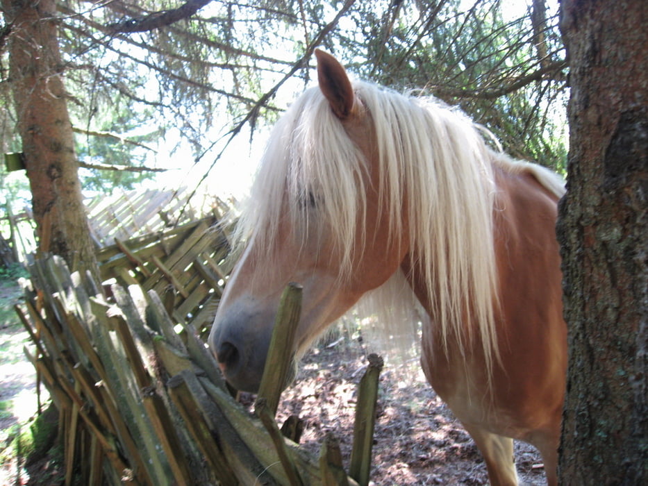
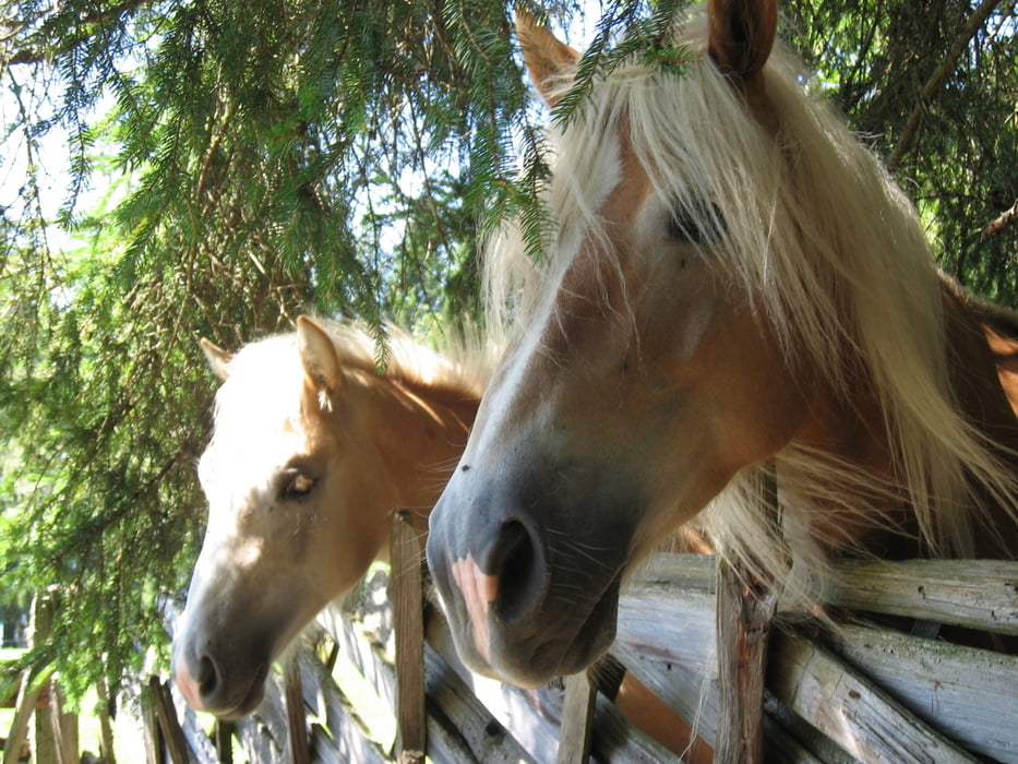
http://www.bike-pinzgau.atTour gallery

Tour map and elevation profile
Minimum height 716 m
Maximum height 1284 m
More about the tour author
|
|
FranzH |
Comments

Leogang ist über die Westautobahn Abfahrt Salzburg und kleines deutsches Eck via Lofer - Saalfelden erreichbar.
Eine andere Route für aus dem Westen Kommende führt über St. Johann in Tirol und Hochfilzen nach Leogang.
GPS tracks
Trackpoints-
GPX / Garmin Map Source (gpx) download
-
TCX / Garmin Training Center® (tcx) download
-
CRS / Garmin Training Center® (crs) download
-
Google Earth (kml) download
-
G7ToWin (g7t) download
-
TTQV (trk) download
-
Overlay (ovl) download
-
Fugawi (txt) download
-
Kompass (DAV) Track (tk) download
-
Track data sheet (pdf) download
-
Original file of the author (gpx) download
More about the tour author
|
|
FranzH |
Add to my favorites
Remove from my favorites
Edit tags
Open track
My score
Rate