


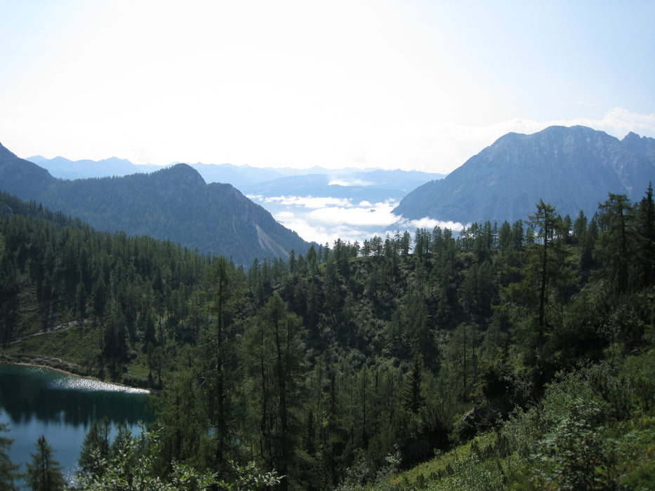
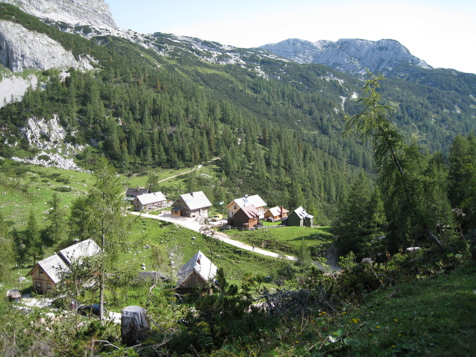
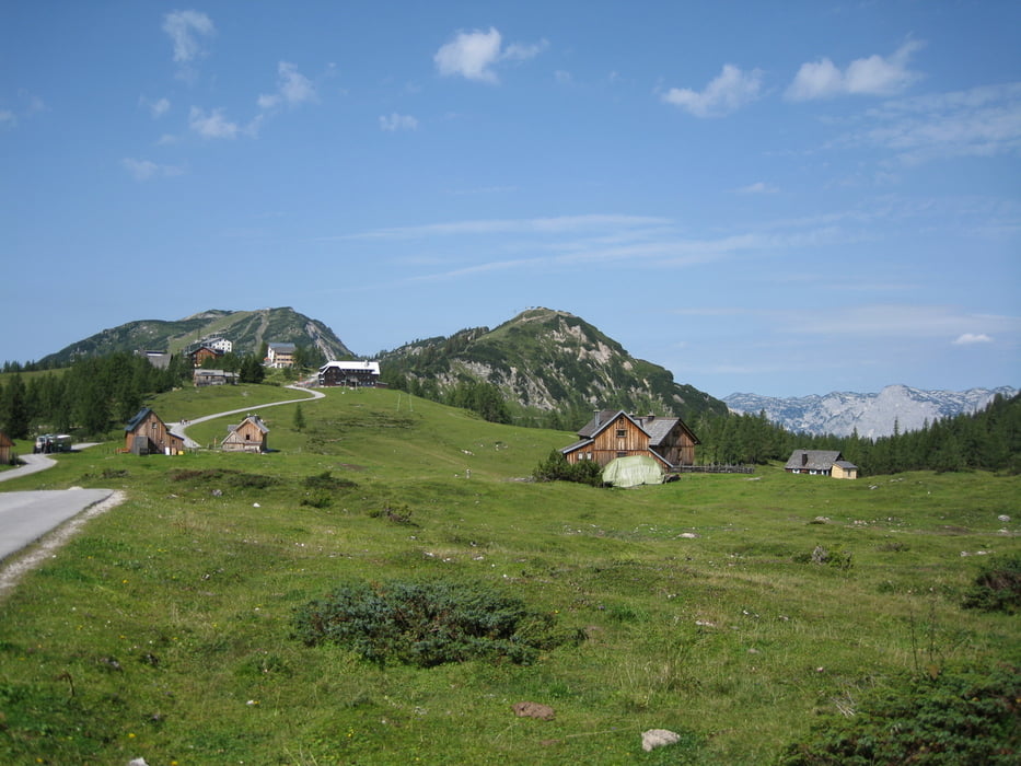
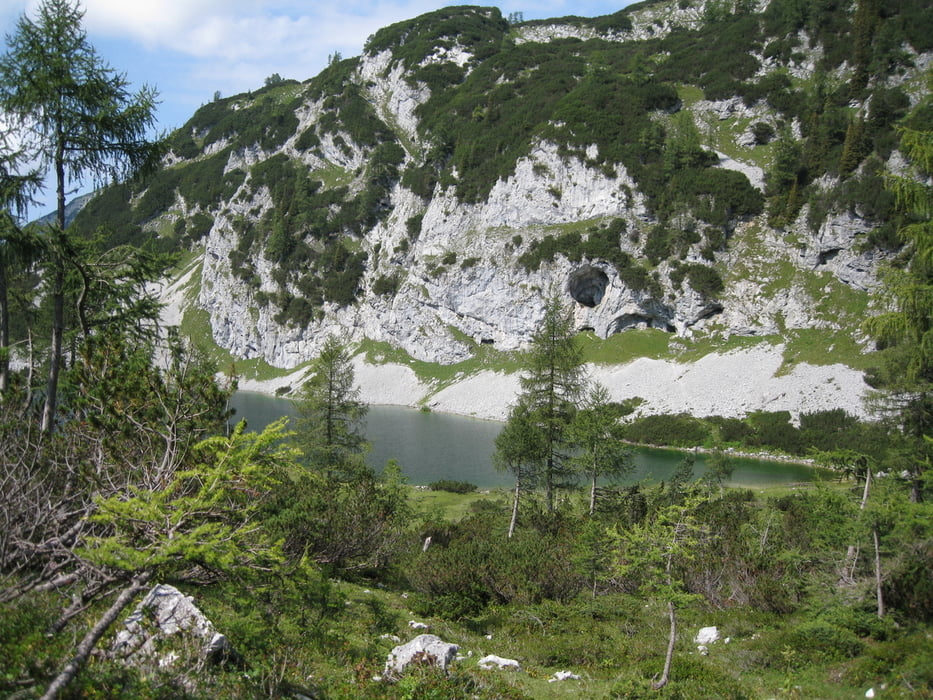
Gestartet bin ich in Tauplitz Ort,den Sessellift folgend,gehts nach der Mittelstation recht heftig steil einen Karrenweg zur Tauplitzalm.ca.45min.schieben! Mann kann das ganze auch umfahren,indem man von Bad-Mitterndorf die Mautstrasse nimmt.Von der Tauplitzalm geht es vorbei beim Tauplitzsee zum Steirersee hier wäre die rechte Seeseite warscheinlich besser zu befahren und begehen als die linke Seite musste 1 Stunde zum Schwarzensee schieben,dafür hat man eine tolle Aussicht! Ab den Schwarzensee kann man teilweise fahren,und man erreicht die Rieshöhe ohne Probleme,hier rund 200 hm hinunter schieben,ab da steile Forstsrasse runter bis zur Asphaltsrasse,hier links nach ca.3km nochmals links die Forststrasse befahren bis von oben eine Forststrasse einmündet,hier rechts hinunter nach 500 m links über den Bach ab da rauf zum Hochtor,sehr steil aber befahrbar! Nach den Übergang zur Stoiringalm,und weiter der Forststrasse folgen bis zu einer Asphaltstrasse hier rechts bis zum Ausgangspunkt!
Tour gallery
Tour map and elevation profile
Minimum height 843 m
Maximum height 1629 m
More about the tour author
|
|
rudolfo |
Comments
GPS tracks
Trackpoints-
GPX / Garmin Map Source (gpx) download
-
TCX / Garmin Training Center® (tcx) download
-
CRS / Garmin Training Center® (crs) download
-
Google Earth (kml) download
-
G7ToWin (g7t) download
-
TTQV (trk) download
-
Overlay (ovl) download
-
Fugawi (txt) download
-
Kompass (DAV) Track (tk) download
-
Track data sheet (pdf) download
-
Original file of the author (gpx) download
More about the tour author
|
|
rudolfo |
Add to my favorites
Remove from my favorites
Edit tags
Open track
My score
Rate
Freue mich schon wenn du mich wieder einmal auf ein Tour mitnimmst.