


Karte: BD8 Kebnekaise-Saltoluokta, Lantmäteriet.
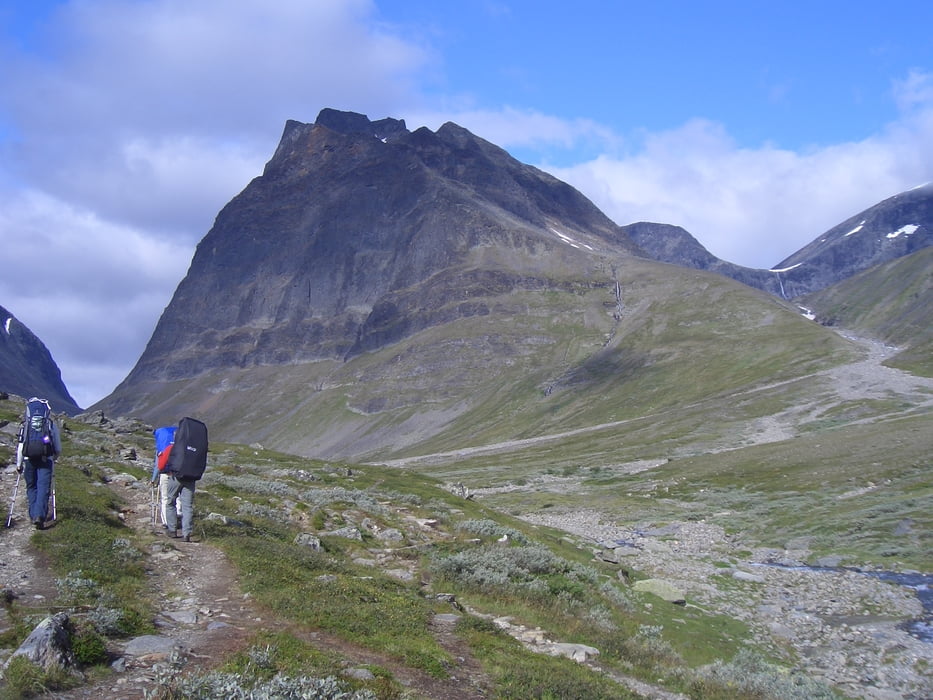
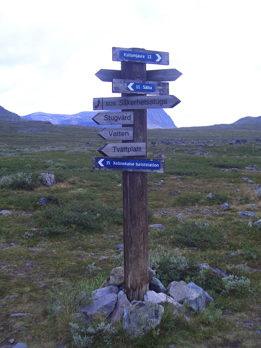
Ausgeschilderter Wanderweg nach Singi. erst bergab zum Fluss und über die Hängebrücke. Danach stetig bergauf und lings das Hochtal entlang. Vom höchsten Punkt kann man dann schon die Hütte bei Singi auf dem eigentlichen Kungsleden sehen. Ab hier geht es dann nurnoch bergab. Ab hier kein Handyempfang mehr und kein Strom in den Hütten. Hütte mit 46 Betten, 4 Kochmöglichkeiten und Plumskloo. Waschen am Fluß.
Tour gallery


Tour map and elevation profile
Minimum height 632 m
Maximum height 831 m
More about the tour author

|
Carl P |
Comments

Siehe: Kungsleden: Nikkaluokta-Kebnekaise
GPS tracks
Trackpoints-
GPX / Garmin Map Source (gpx) download
-
TCX / Garmin Training Center® (tcx) download
-
CRS / Garmin Training Center® (crs) download
-
Google Earth (kml) download
-
G7ToWin (g7t) download
-
TTQV (trk) download
-
Overlay (ovl) download
-
Fugawi (txt) download
-
Kompass (DAV) Track (tk) download
-
Track data sheet (pdf) download
-
Original file of the author (gpx) download
More about the tour author
|
|
Carl P |
Add to my favorites
Remove from my favorites
Edit tags
Open track
My score
Rate