


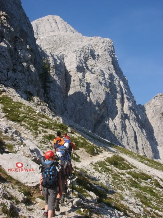
Leichter, meist gut gesicherter Steig auf der Nordseite der Mala Mojstrovka (2332m). Stellenweise auch ungesichert und etwas ausgesetzt.
Zustieg vom Vrisicpaß über die Vratica Scharte in knapp 40 min.
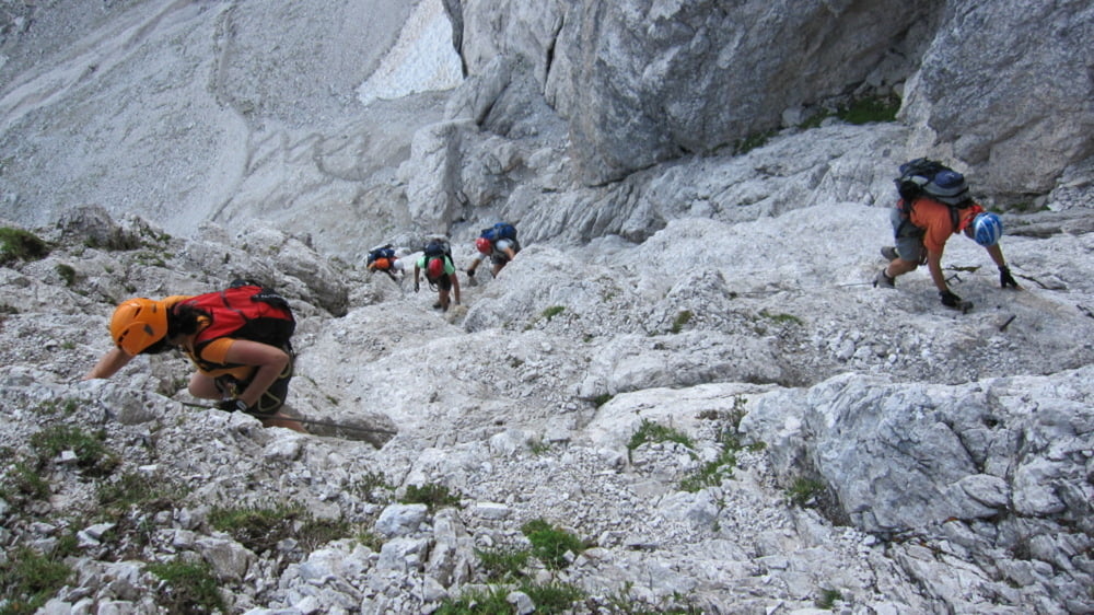
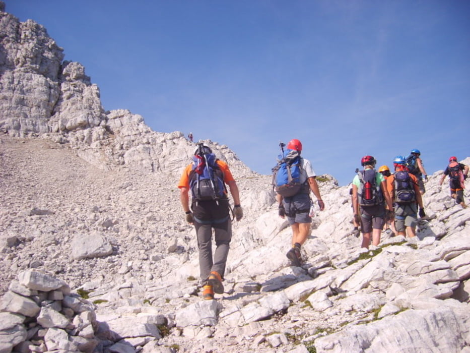
Im oberen Drittel des Steiges kommt man zu einer flachen Passage, bei der man zum Vrsicpaß absteigen könnte. Von dort geht es einem anfangs flachen Grat entlang auf den Gipfel (2332m)
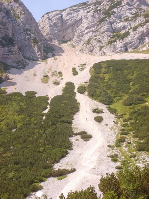
Der Abstieg erfolgt über den Normalweg (Variante direkt am Grat ist sehr schön). Danach durch eine steilere Scharte absteigen und über das Schuttfeld (eher die mittlere Rinne nehmen) zurück zum Ausgangspunkt.
Zustieg: 0:40
Steig: 1:30
Abstieg: 1:00
Gehzeit: 3:10
Tour gallery
Tour map and elevation profile
Minimum height 1608 m
Maximum height 2322 m
More about the tour author
|
|
renrew |
Comments

Von Kranjska Gora auf den Vrsicpaß
GPS tracks
Trackpoints-
GPX / Garmin Map Source (gpx) download
-
TCX / Garmin Training Center® (tcx) download
-
CRS / Garmin Training Center® (crs) download
-
Google Earth (kml) download
-
G7ToWin (g7t) download
-
TTQV (trk) download
-
Overlay (ovl) download
-
Fugawi (txt) download
-
Kompass (DAV) Track (tk) download
-
Track data sheet (pdf) download
-
Original file of the author (gpx) download
More about the tour author
|
|
renrew |
Add to my favorites
Remove from my favorites
Edit tags
Open track
My score
Rate