


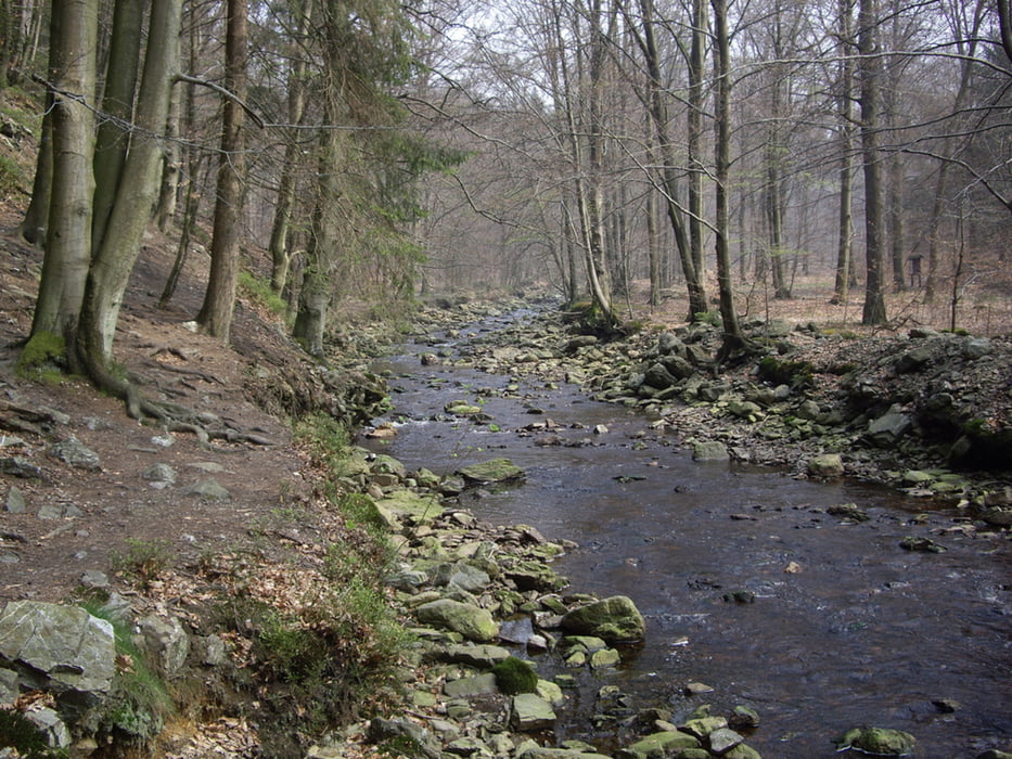
Etwas ruhige Wanderung, eher Spaziergang.
Das einzig Interessante an der Tour sind die Stege über denen man herläuft, um nicht im Moor zu versinken.
Und das manchmal gesperrte Naturschutzgebiet(GPS Tour).
Zu empfehlen ist es mal ins Moor "zu hüpfen". Dies kann aber schnell ins Auge gehen ;-)
Further information at
http://www.naturpark-hohesvenn-eifel.de/go/eifel-detail/german/Landschaften/Vennvorland/386_besucherzentren_und_museen_des_vennvorlandes.htmlTour gallery
Tour map and elevation profile
Minimum height 520 m
Maximum height 623 m
More about the tour author
|
|
ChristophHorst |
Comments

Von Mützenich über die Grenze richtung Eupen. Auf halbem wege gibt es 2 Parkplätze im Nirgendwo!
GPS tracks
Trackpoints-
GPX / Garmin Map Source (gpx) download
-
TCX / Garmin Training Center® (tcx) download
-
CRS / Garmin Training Center® (crs) download
-
Google Earth (kml) download
-
G7ToWin (g7t) download
-
TTQV (trk) download
-
Overlay (ovl) download
-
Fugawi (txt) download
-
Kompass (DAV) Track (tk) download
-
Track data sheet (pdf) download
-
Original file of the author (gpx) download
More about the tour author
|
|
ChristophHorst |
Add to my favorites
Remove from my favorites
Edit tags
Open track
My score
Rate