


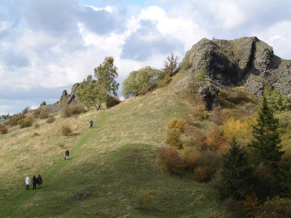
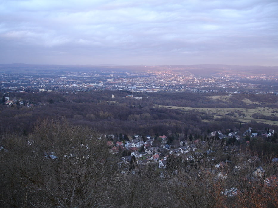
Über Asphalt, Schotterpisten und Single Trails zum Dörnberg und den tollen Rundumblick genießen. Besonders das Ahnatal und der Dörnberg mit den technischen Herausforderungen haben es mir angetan.
Further information at
http://de.wikipedia.org/wiki/Hoher_DörnbergTour gallery
Tour map and elevation profile
Minimum height 176 m
Maximum height 582 m
More about the tour author

|
trailghost |
Comments

Auto
Parken in der Friedrich-Ebert-Strasse nähe der Straßenbahnhaltestelle "Wintershall"
ÖPNV
Straßenbahnhaltestelle "Wintershall" der Linie 4
oder Bahnhof Wilhelmshöhe aussteigen und die ersten paar Meter mit dem Fahrrad
GPS tracks
Trackpoints-
GPX / Garmin Map Source (gpx) download
-
TCX / Garmin Training Center® (tcx) download
-
CRS / Garmin Training Center® (crs) download
-
Google Earth (kml) download
-
G7ToWin (g7t) download
-
TTQV (trk) download
-
Overlay (ovl) download
-
Fugawi (txt) download
-
Kompass (DAV) Track (tk) download
-
Track data sheet (pdf) download
-
Original file of the author (gpx) download
More about the tour author
|
|
trailghost |
Add to my favorites
Remove from my favorites
Edit tags
Open track
My score
Rate