Login

Forgot your login?

Cookies have to be accepted!
Your browser's cookie functionality is disabled. Please enable this functionality.

Not a member yet?

Register now
Login

Available for registred users only

Log in to use this feature.

Forgot your login?

Cookies have to be accepted!
Your browser's cookie functionality is disabled. Please enable this functionality.

Not a member yet?

Register now
Filter
Categories
Advanced filters
  • Distance (km)
  • Height
Save filters Reset filter

TrackRank

QRCode

Technical data

Distance48,9 km Height3222 m Way down3212 m Duration03:30 h:m Date30.08.2009
Scores Author Landscape Fun factor Fitness Technique

Statistics

705 Views Scores 193 Downloads Average
Rate
  • Track data sheet
  • Directions
  • Downloads
Die Tour:

Tour gallery

Tour map and elevation profile

  • Open Street Map
  • Google
Minimum height 968 m Maximum height 2228 m Detailed view

More about the tour author

KD250761
Member since 2004

Send private message

Comments

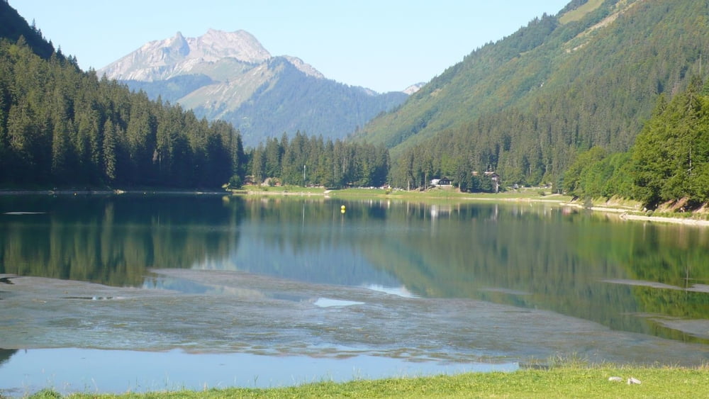
Der Start der Tour ist an der Gondel von Champery. Du kannst aber an jedem der benutzten Lifte in die Tour einsteigen. Siehe dafür die Tourenbeschreibung.

GPS tracks

Trackpoints
  • GPX / Garmin Map Source (gpx) download
  • TCX / Garmin Training Center® (tcx) download
  • CRS / Garmin Training Center® (crs) download
  • Google Earth (kml) download
  • G7ToWin (g7t) download
  • TTQV (trk) download
  • Overlay (ovl) download
  • Fugawi (txt) download
  • Kompass (DAV) Track (tk) download
  • Track data sheet (pdf) download
  • Original file of the author (gpx) download

More about the tour author

KD250761
Member since 2004

Send private message
Share track
Add to my favorites
Remove from my favorites
Edit tags
My score
Rate
Track: Champery Rundtour 1
Type: Mountain bike
Distance: 48,9 km
Evaluated on:
Duration:
Day(s)
Hour(s)
Minute(s)
Score: Landscape Fun factor Fitness Technique