


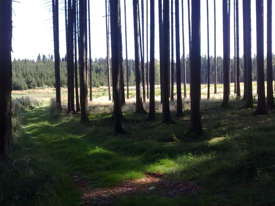
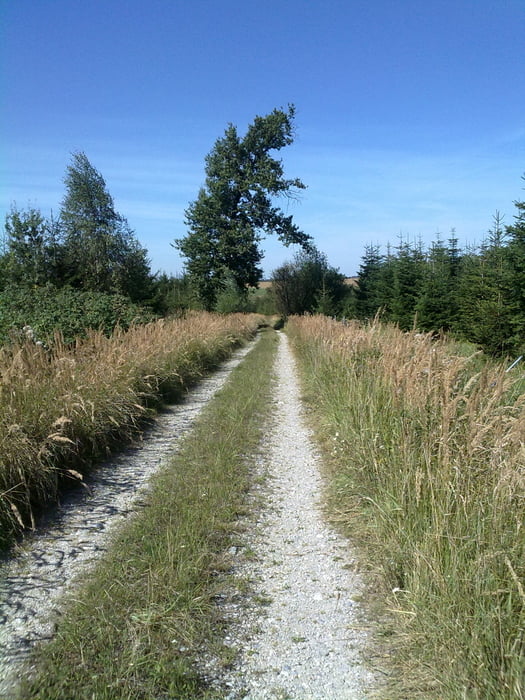
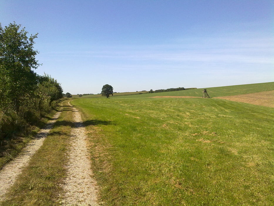
Kleine Runde durchs Obereglinger Holz, teils im Wald, teils am Waldrand.
Schotterwege bilden den Hauptanteil der Strecke. Im Süden, bei gutem Wetter, toller Alpenblick, im Norden kleinere Abfahrt, auf der man es Laufen lassen kann.
Schotterwege bilden den Hauptanteil der Strecke. Im Süden, bei gutem Wetter, toller Alpenblick, im Norden kleinere Abfahrt, auf der man es Laufen lassen kann.
Tour gallery
Tour map and elevation profile
Minimum height 586 m
Maximum height 656 m
More about the tour author

|
hajoka |
Comments

GPS tracks
Trackpoints-
GPX / Garmin Map Source (gpx) download
-
TCX / Garmin Training Center® (tcx) download
-
CRS / Garmin Training Center® (crs) download
-
Google Earth (kml) download
-
G7ToWin (g7t) download
-
TTQV (trk) download
-
Overlay (ovl) download
-
Fugawi (txt) download
-
Kompass (DAV) Track (tk) download
-
Track data sheet (pdf) download
-
Original file of the author (gpx) download
More about the tour author
|
|
hajoka |
Add to my favorites
Remove from my favorites
Edit tags
Open track
My score
Rate