


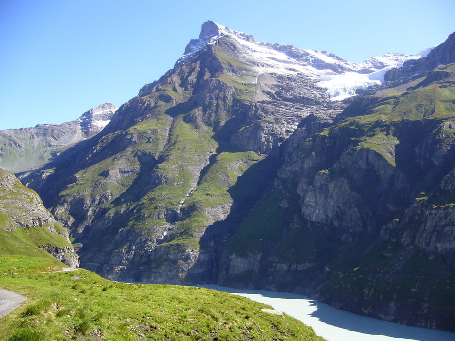
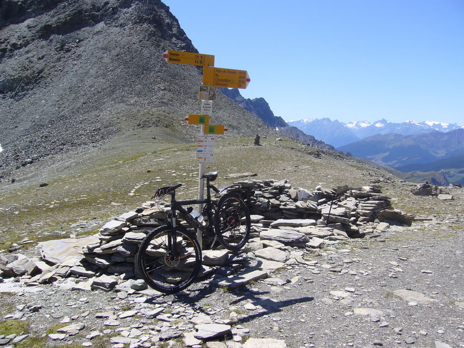
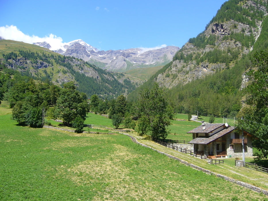
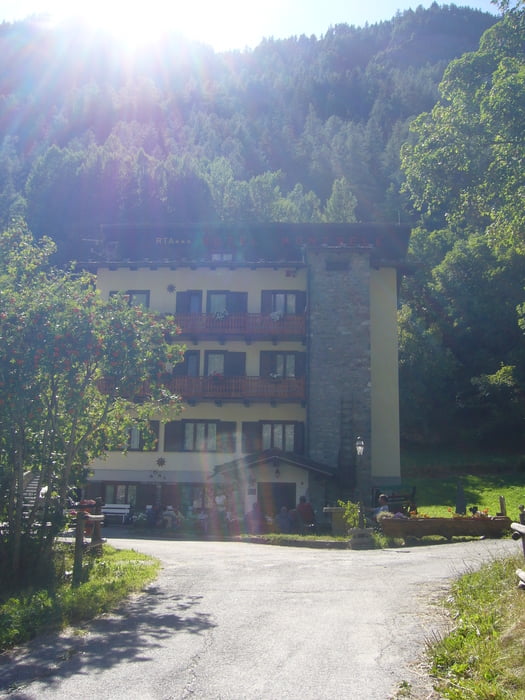
von Lourtier 1057m Hotel La Valle***, über Fionnay zum Lac de Mauvoisin 1961m, von dort durch unzählige Tunnels bis zum Abzweig Fenêtre de Durand 2797 m, von dort ca.1,5h schieben und tragen bis zum Paß, nach den Paß kurzes fahrbares Stück und dann wieder gut 150Hm bergab tragen, Alp By, Abstieg nach Vaud, und dann auf Straße bis kurz nach Vaud, Übernachtung in Ollomont 1400m Hotel Mont Gele***,
Durchschnittsgeschwindigkeit~8.2km/h
Further information at
http://de.wikipedia.org/wiki/Grand_CombinTour gallery
Tour map and elevation profile
Minimum height 1050 m
Maximum height 2807 m
More about the tour author
|
|
Sport2008 |
Comments

* entweder mit dem Fahrrad ab Martigny nach Loutier 1050m
* Auto bis Loutier
GPS tracks
Trackpoints-
GPX / Garmin Map Source (gpx) download
-
TCX / Garmin Training Center® (tcx) download
-
CRS / Garmin Training Center® (crs) download
-
Google Earth (kml) download
-
G7ToWin (g7t) download
-
TTQV (trk) download
-
Overlay (ovl) download
-
Fugawi (txt) download
-
Kompass (DAV) Track (tk) download
-
Track data sheet (pdf) download
-
Original file of the author (gpx) download
More about the tour author
|
|
Sport2008 |
Add to my favorites
Remove from my favorites
Edit tags
Open track
My score
Rate