


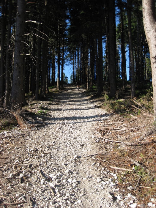
Am Anfang eher flach und ab Hammer wird es etwas steiler. Der letzte Kilometer geht dann mit bis zu 18% richtig zur Sache.
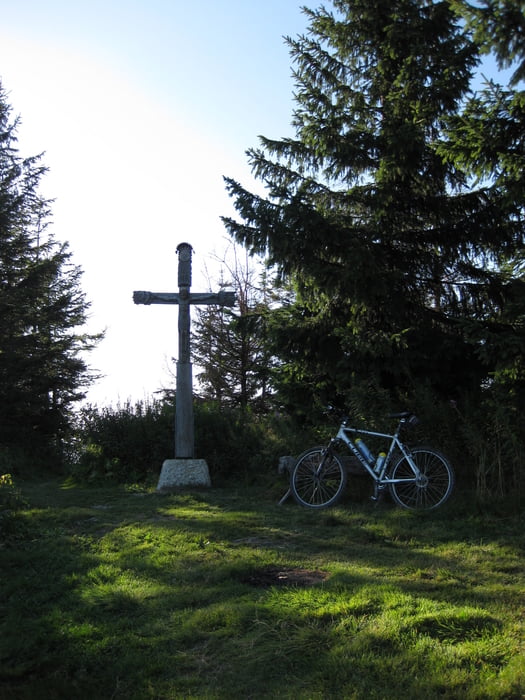
Bevor ich mir bei der Stoißer Alm einen leckeren Kuchen kaufte, fuhr bzw. schob ich zum Gipfelkreuz des Teisenberg. Von hier hat man auf der einen Seite den Blick nach Salzburg und auf der Anderen Chiemsee, Tachinger und Waginger See.
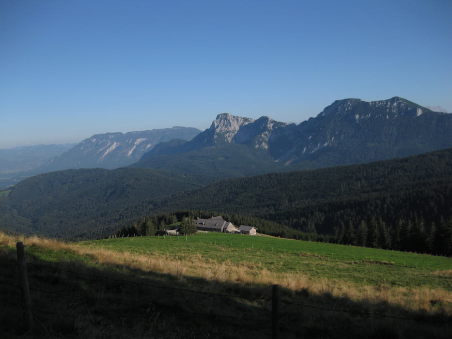
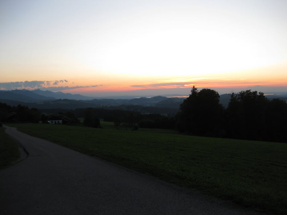
Nach der Pause auf der Alm ging es eine Trail zur früheren Grenze zwischen Chiemgau und Rupertiwinkel. Von hier aus kann man den Sonnenuntergang über dem Chiemsee richtig genießen.
Further information at
http://www.stoisseralm.de/stoisseralm.htmTour gallery
Tour map and elevation profile
Minimum height 521 m
Maximum height 1334 m
More about the tour author
|
|
Passione64 |
Comments

Die Tour habe ich wieder bei Traunwalchen begonnen. Die Anfahrt zum Wanderparkplatz bei Hammer mit dem Auto ist natürlich auch möglich
GPS tracks
Trackpoints-
GPX / Garmin Map Source (gpx) download
-
TCX / Garmin Training Center® (tcx) download
-
CRS / Garmin Training Center® (crs) download
-
Google Earth (kml) download
-
G7ToWin (g7t) download
-
TTQV (trk) download
-
Overlay (ovl) download
-
Fugawi (txt) download
-
Kompass (DAV) Track (tk) download
-
Track data sheet (pdf) download
-
Original file of the author (gpx) download
More about the tour author
|
|
Passione64 |
Add to my favorites
Remove from my favorites
Edit tags
Open track
My score
Rate