


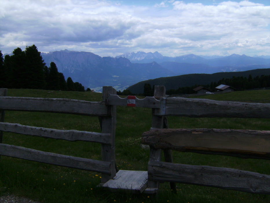
Von Klausen nach Villanders und dann in endlosen Serpentinen zunächst auf Asphalt dann auf Schotter bergauf, bergauf, bergauf. Belohnt wird man durch herrliche Ausblicke auf die Dolomiten und mit oben angekommen mit der Fahrt durch die Almlandschaften rund um den Gasteiger Sattel und das Rittner Horn, welches man links liegen lässt.
Die Abfahrt zurück nach Klausen lässt sich sicher noch optimieren, wir wählten teilweise den Wanderweg, teilweise die Straße.
Tour gallery
Tour map and elevation profile
Minimum height 448 m
Maximum height 2157 m
More about the tour author

|
heikespo |
Comments

Start ist am Bahnhof von Klausen, Parkplatz dort war kostenfrei
GPS tracks
Trackpoints-
GPX / Garmin Map Source (gpx) download
-
TCX / Garmin Training Center® (tcx) download
-
CRS / Garmin Training Center® (crs) download
-
Google Earth (kml) download
-
G7ToWin (g7t) download
-
TTQV (trk) download
-
Overlay (ovl) download
-
Fugawi (txt) download
-
Kompass (DAV) Track (tk) download
-
Track data sheet (pdf) download
-
Original file of the author (gpx) download
More about the tour author
|
|
heikespo |
Add to my favorites
Remove from my favorites
Edit tags
Open track
My score
Rate