


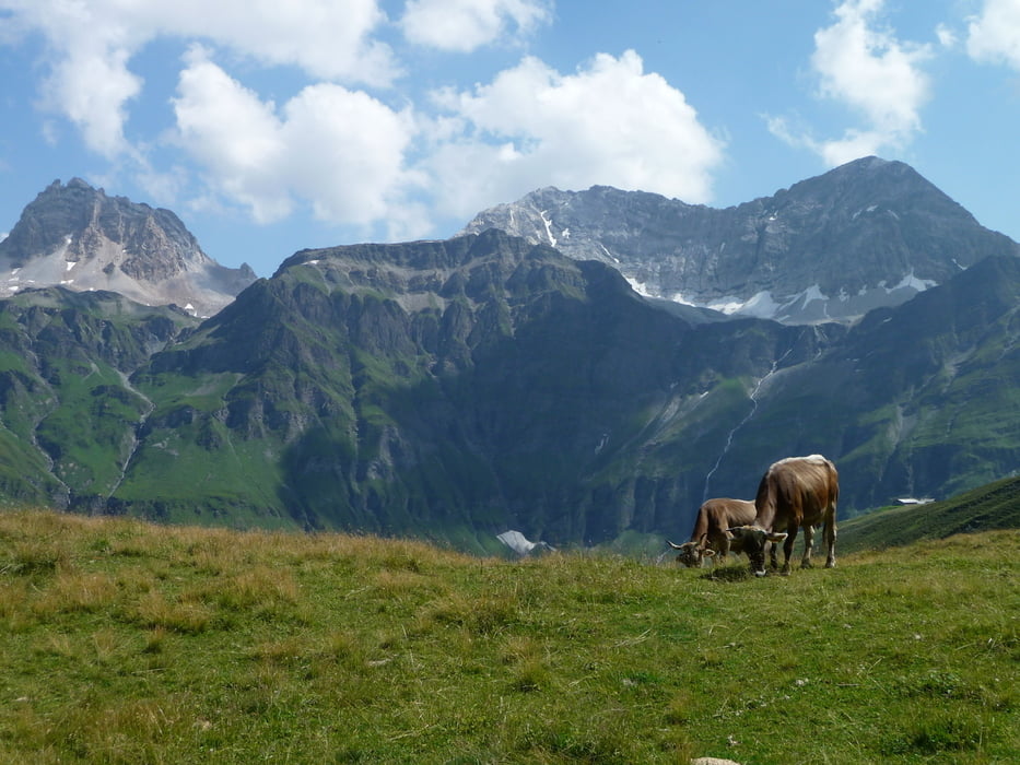
Wunderschöne, teilweise auch hochalpine Rundtour mit dem MTB durch Graubünden.
Die komplette Graubünden Tour 90 (375km/14000Hm) ist hier in 7 Tagesetappen beschrieben.
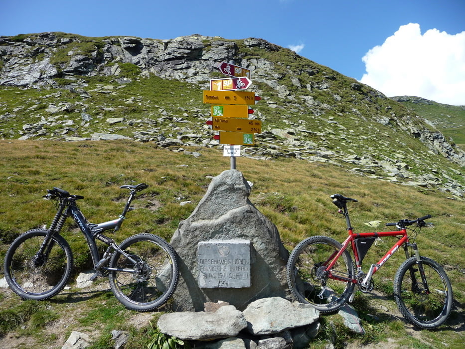
Diese Tour 90 ist vom Graubündner Fremdenverkehrsamt hervorragend beschrieben (http://www.mountainbikeland.ch/de/routen_detail.cfm) und nahezu perfekt ausgeschildert, das GPS mit Track haben wir nie ernsthaft zur Routenfindung benötigt.
Trotzdem wird es den Einen oder Anderen beruhigen einen Track für diese Tour mit dabei zu haben. Da diese auf der offiziellen Webseite des Graubündner Fremdenverkehrsamt bisher nicht angeboten wird, haben wir uns dazu entschlossen, unseren Track und auch die Erfahrungen hier zu veröffentlichen - viel Spaß beim Nachfahren
Stephan & Walter
Fünfte Etappe: Thusis - Lumbrein
67km - 2929hm
10h20 Tourenzeit inklusive Pausen, Mittag etc. (netto Fahrzeit 7h)
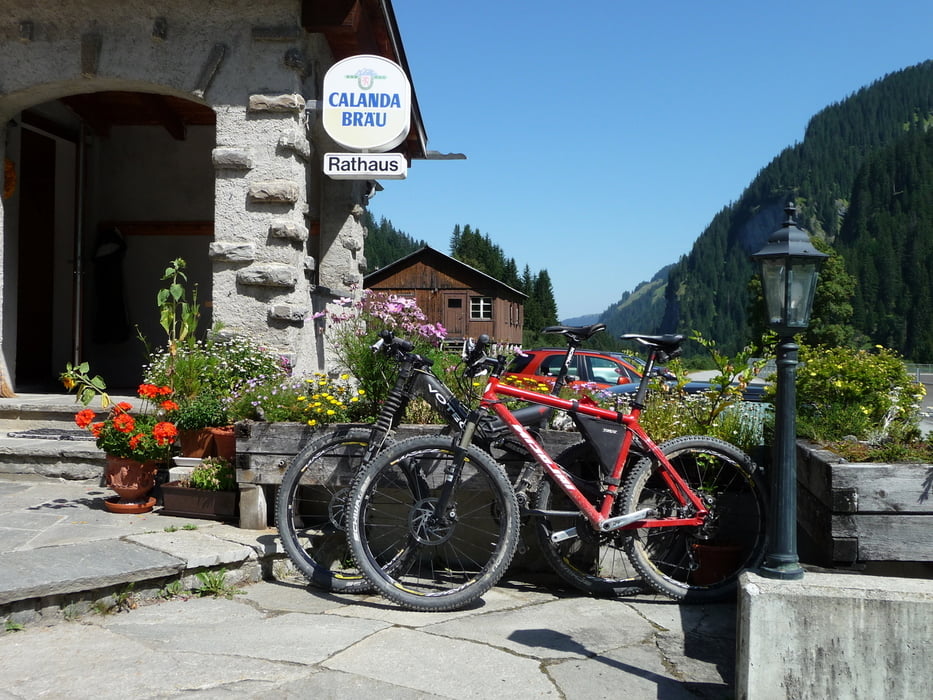
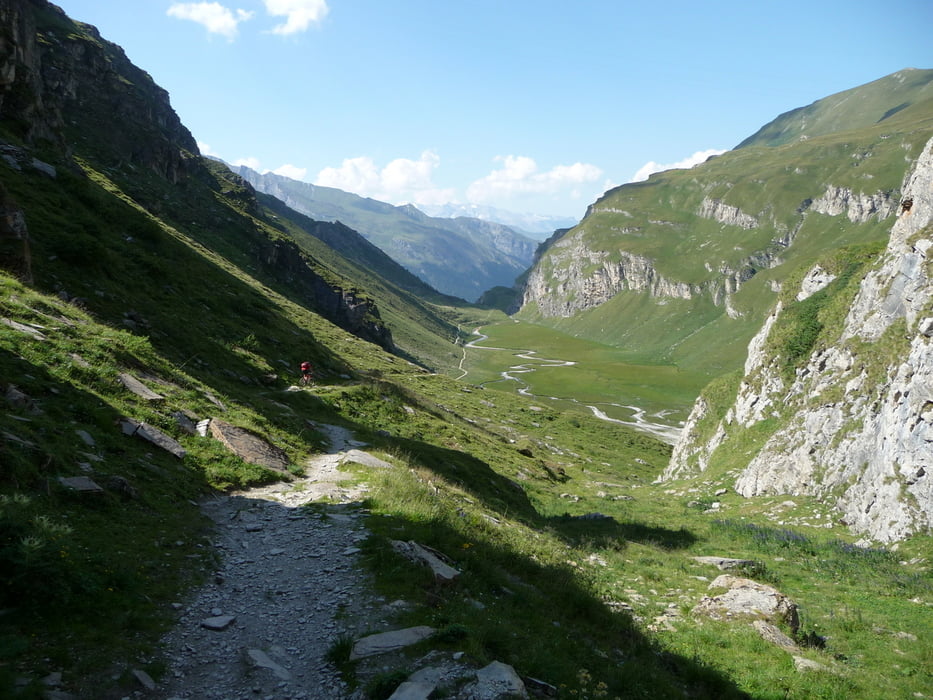
Lange Teerauffahrt bis zum Glaspass (1845), mit anschließendem super Trail nach Safien Platz. Vor der nächsten Auffahrt zum Tomülpass dringende Einkehr im "Rathaus" in Safien Platz empfohlen :-). Die Auffahrt zum Tomülpass ist teilweise sehr steil aber fahrbar. Die Abfahrt nach Vals Platz ist ein endloser Surftrail, landschaftlich nicht minder schön!
Further information at
http://www.mountainbikeland.ch/de/routen_detail.cfm?id=315743Tour gallery
Tour map and elevation profile
Minimum height 729 m
Maximum height 2409 m
More about the tour author
|
|
Schmitzl65 |
Comments

GPS tracks
Trackpoints-
GPX / Garmin Map Source (gpx) download
-
TCX / Garmin Training Center® (tcx) download
-
CRS / Garmin Training Center® (crs) download
-
Google Earth (kml) download
-
G7ToWin (g7t) download
-
TTQV (trk) download
-
Overlay (ovl) download
-
Fugawi (txt) download
-
Kompass (DAV) Track (tk) download
-
Track data sheet (pdf) download
-
Original file of the author (gpx) download
More about the tour author
|
|
Schmitzl65 |
Add to my favorites
Remove from my favorites
Edit tags
Open track
My score
Rate