Login

Forgot your login?

Cookies have to be accepted!
Your browser's cookie functionality is disabled. Please enable this functionality.

Not a member yet?

Register now
Login

Available for registred users only

Log in to use this feature.

Forgot your login?

Cookies have to be accepted!
Your browser's cookie functionality is disabled. Please enable this functionality.

Not a member yet?

Register now
Filter
Categories
Advanced filters
  • Distance (km)
  • Height
Save filters Reset filter

TrackRank

QRCode

Technical data

Distance39,9 km Height866 m Way down855 m Duration00:00 h:m Date04.09.2009
Scores Author User Landscape Fun factor Fitness Technique

Statistics

3189 Views 2 Scores 183 Downloads 4.00 Average
Rate
  • Track data sheet
  • Directions
  • Downloads
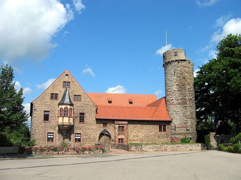
Schöne Runde um Külsheim.Strecke ist das ganze Jahr über ausgeschildert.Ausgangspunkt dieser Strecke ist vor dem schönen Schloß in Külsheim.
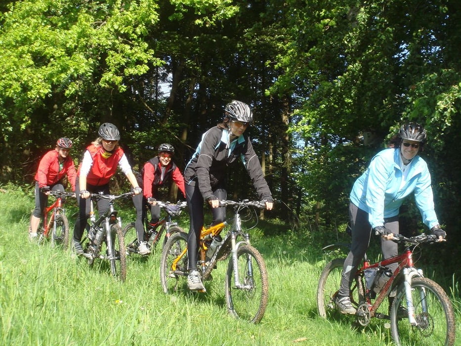
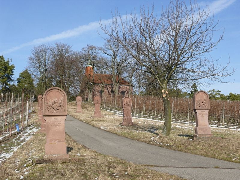
Tour gallery

Tour map and elevation profile

  • Open Street Map
  • Google
Minimum height 173 m Maximum height 435 m Detailed view

More about the tour author

Wellblech
Member since 2008

Send private message

Comments

GPS tracks

Trackpoints
  • GPX / Garmin Map Source (gpx) download
  • TCX / Garmin Training Center® (tcx) download
  • CRS / Garmin Training Center® (crs) download
  • Google Earth (kml) download
  • G7ToWin (g7t) download
  • TTQV (trk) download
  • Overlay (ovl) download
  • Fugawi (txt) download
  • Kompass (DAV) Track (tk) download
  • Track data sheet (pdf) download
  • Original file of the author (gpx) download

More about the tour author

Wellblech
Member since 2008

Send private message
Share track
Add to my favorites
Remove from my favorites
Edit tags
My score
Rate
Track: Rote Strecke Külsheim NR.2
Type: Mountain bike
Distance: 39,9 km
Evaluated on:
Duration:
Day(s)
Hour(s)
Minute(s)
Score: Landscape Fun factor Fitness Technique