Login

Forgot your login?

Cookies have to be accepted!
Your browser's cookie functionality is disabled. Please enable this functionality.

Not a member yet?

Register now
Login

Available for registred users only

Log in to use this feature.

Forgot your login?

Cookies have to be accepted!
Your browser's cookie functionality is disabled. Please enable this functionality.

Not a member yet?

Register now
Filter
Categories
Advanced filters
  • Distance (km)
  • Height
Save filters Reset filter

TrackRank

QRCode

Technical data

Distance27,0 km Height957 m Way down970 m Duration01:45 h:m Date04.09.2009
Scores Author Landscape Fun factor Fitness Technique

Statistics

245 Views Scores 40 Downloads Average
Rate
  • Track data sheet
  • Directions
  • Downloads
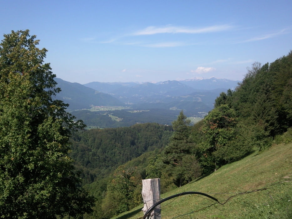
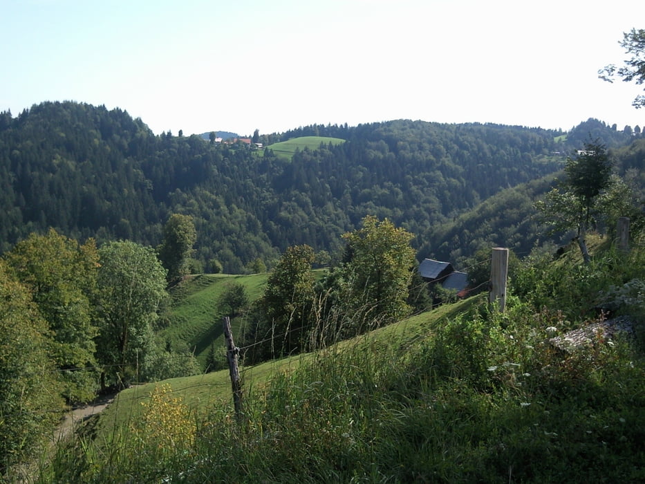
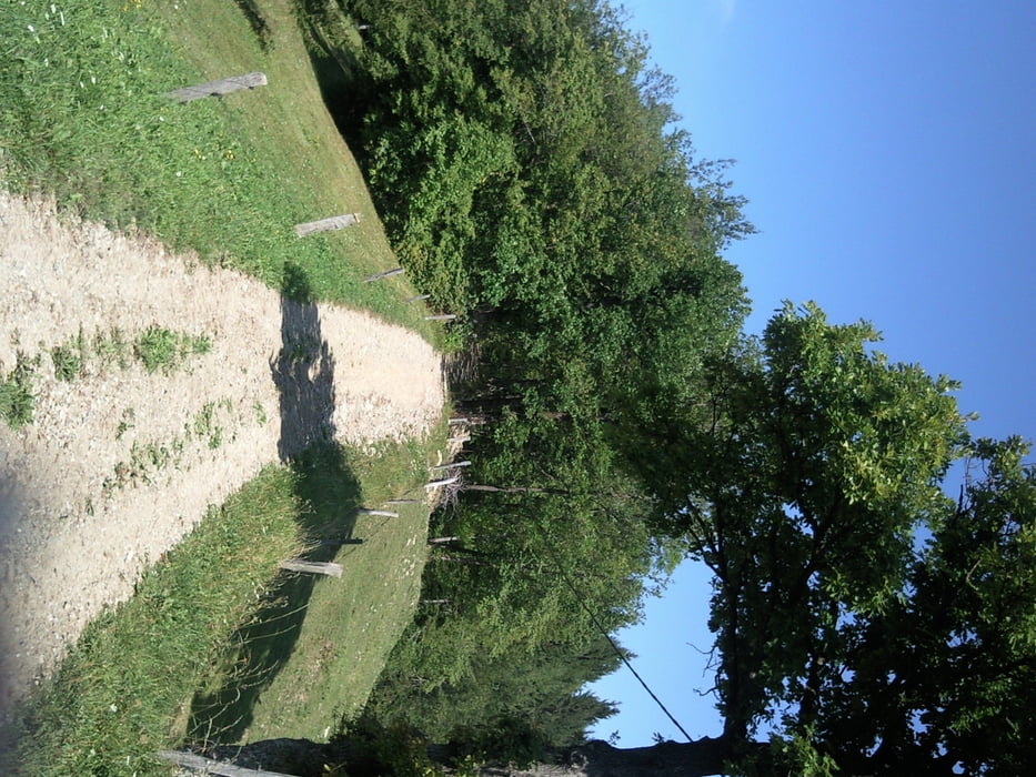
Srednje zahtevno kolesarjenje po asfaltu, makedamu, kolovozih in peš poti. V prvem delu je zaradi stalnih vzponov, še posebej zadnji od Krapleta proti Jegovniku, potrebna kondicija in dobra tehnika vzpona, saj zaradi gramoza zadnje kolo zdrsuje.

Tour gallery

Tour map and elevation profile

  • Open Street Map
  • Google
Minimum height 336 m Maximum height 911 m Detailed view

More about the tour author

katurocman
Member since 2008

Send private message

Comments

GPS tracks

Trackpoints
  • GPX / Garmin Map Source (gpx) download
  • TCX / Garmin Training Center® (tcx) download
  • CRS / Garmin Training Center® (crs) download
  • Google Earth (kml) download
  • G7ToWin (g7t) download
  • TTQV (trk) download
  • Overlay (ovl) download
  • Fugawi (txt) download
  • Kompass (DAV) Track (tk) download
  • Track data sheet (pdf) download
  • Original file of the author (gpx) download

More about the tour author

katurocman
Member since 2008

Send private message
Share track
Add to my favorites
Remove from my favorites
Edit tags
My score
Rate
Track: Mozirje-Čreta
Type: Mountain bike
Distance: 27,0 km
Evaluated on:
Duration:
Day(s)
Hour(s)
Minute(s)
Score: Landscape Fun factor Fitness Technique